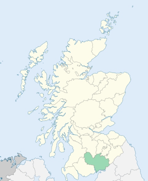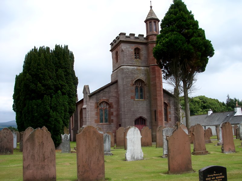
Keir is a parish in the centre of Nithsdale, Dumfriesshire. It is bounded by Penpont, Closeburn, Kirkmahoe, Dunscore, Glencairn, and Tynron. (1867: The Imperial Gazetteer of Scotland, by John Marius Wilson).
Barjarg, Keir, Keir Mill
Barjarg, Capenoch
PRE-REFORMATION GOVERNANCE:
POST-REFORMATION GOVERNANCE:
This charge was disjoined from Holywood. At Kilbride, in the south of the parish, there was a Chapel of St Bride.
Includes ministers, licentiates, assistants, readers, and clerks.
(1928: Fasti Ecclesiæ Scoticanæ, by Hew Scott, D. D.)
Parish registers turned over to the Registrar-General, as a result of the Registration of Births, Deaths, and Marriages (Scotland) Act of 1854. The letters B. D. and M. indicate Births (or Baptisms), Deaths (or Burials), and Marriages (or Proclamations of Banns) respectively. Numbers indicate separate volumes or books. Note: These records are by no means complete or without damage; consult the Detailed List of the Old Parochial Registers of Scotland (1872) to learn more about the condition of the records.
| OPR and RD Numbers | |||
|---|---|---|---|
| Date Range | Name | Number | Type |
| 1721-1854 | Keir | 833 | OPR |
| 1855-1968 | Keir | 833 | RD |
| 2009 | Dumfries and Galloway, Thornhill | 833 | RD |
| 2026 | Dumfries & Galloway Council; Keir Community Council | ||
(2009: Parishes and Registration Districts of Scotland - Old and New, National Records of Scotland)
Local community councils (2026) are provided as a potential source of additional information for settlements within the original boundaries of the parish. (Source)
Statistics from informal and official censuses
Black, Dempster, Grierson, Hyslop, Kennedy, Kirkpatrick, Pagan, Smith, Thomson, Wilson
Note: Names appearing in research materials, other than censuses. Simple names (First name, surname only) have been omitted unless they appear associated with large properties. All women's names, and men's names with occupations, military ranks, or peerage titles are included.
By the Reverend Mr James Wallace.
"In the year 1778, the number of souls did not exceed 300, whereas they are now 510. Of the inhabitants of the parish, 12 are Antiburgher Seceders, 12 are Cameronians, all the rest are of the Established Church. There are 3 blacksmiths, 4 carpenters, 2 masons, 8 weavers, and 4 tailors. All the other inhabitants of the parish are farmers, and their cottagers, who live in detached houses, there being neither towns nor villages in it.
The people, in general, are sober and industrious, though it must be confessed, that, since the pernicious practice of drinking whisky became so prevalent, there are too many exceptions. They enjoy, in a reasonable degree, the necessaries, and even the comforts and conveniences of life, and are, generally as contented with their situation, as most people."
(This section contains excerpts, at times restructured or paraphrased, from an article appearing in Statistical Account of Scotland, Sir John Sinclair, 1791-1799)
Primary Sources:
Statistical Account of Scotland (1791-1799), Volume 12, p. 73
New Statistical Account of Scotland (1834-1845), Volume 4, Section I, p. 460
See Parish Page Sources for all source information and links.