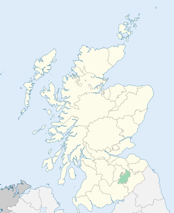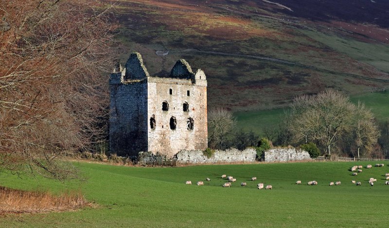
Yarrow is a parish in Selkirkshire. It is bounded on the north by Traquair and Innerleithen in Peeblesshire, and by the Selkirkshire parts of Innerleithen and Stow, on the east by both the Selkirkshire and the Roxburghshire parts of both Selkirk and Ashkirk, on the south by Roberton and Ettrick, and on the west by Megget, Manor, and Peebles in Peeblesshire.(1867: The Imperial Gazetteer of Scotland, by John Marius Wilson).
Ettrick Bridge or Ettrickbridge, Yarrow, Yarrowford
Elibank, Hangingshaw
The parish of Yarrow had one detached part which was almost surrounded by the Peeblesshire parish of Traquair. It had also a part nearly detached which was in a similar position. Both these areas have been transferred to the parish of Traquair. The parish of Yarrow has been further altered in area by the Order which has transferred the detached part of the Peeblesshire parish of Lyne & Megget to the parish of Yarrow and to the county of Selkirk. See affected properties and landholders. (1892: Boundary of counties and parishes in Scotland as settled by the Boundary Commissioners under the Local Government Act, 1889, by Hay Shennan)
PRE-REFORMATION GOVERNANCE:
POST-REFORMATION GOVERNANCE:
The church, dedicated to St Mary, belonged to the Abbey of Dryburgh. In 1640 it was removed eight miles down the water of Yarrow to the place now known as Yarrow Kirk. There were ancient chapels at Deuchar and Kirkhope, also the Chapel and Well of St Philip at the Catslacknowe. The church of Yarrow was restored in 1906.
Disjoined Quoad Sacra Parishes:
Caddonfoot. A chapel was opened here in 1863. The parish was disjoined quoad sacra from Galashiels, Innerleithen, Selkirk, Stow, and Yarrow in 1867.
Includes ministers, licentiates, assistants, readers, and clerks.
Yarrow (QO)
Caddonfoot (QS)
(1928: Fasti Ecclesiæ Scoticanæ, by Hew Scott, D. D.)
Parish registers turned over to the Registrar-General, as a result of the Registration of Births, Deaths, and Marriages (Scotland) Act of 1854. The letters B. D. and M. indicate Births (or Baptisms), Deaths (or Burials), and Marriages (or Proclamations of Banns) respectively. Numbers indicate separate volumes or books. Note: These records are by no means complete or without damage; consult the Detailed List of the Old Parochial Registers of Scotland (1872) to learn more about the condition of the records.
| OPR and RD Numbers | |||
|---|---|---|---|
| Date Range | Name | Number | Type |
| 1691-1854 | Yarrow | 779 | OPR |
| 1855-1892 | Yarrow | 779 | RD |
| 1893-1930 | Yarrow | 779-1 | RD |
| 1893-1930 | Megget | 779-2 | RD |
| 1931-1968 | Yarrow | 779 | RD |
| 2009 | Scottish Borders, Selkirk | 811 | RD |
| 2026 | Scottish Borders Council; Ettrick and Yarrow Community Council | ||
(2009: Parishes and Registration Districts of Scotland - Old and New, National Records of Scotland)
Local community councils (2026) are provided as a potential source of additional information for settlements within the original boundaries of the parish. (Source)
Statistics from informal and official censuses
Dalgleish, Dickson, Goodfellow, Laidlaw, Little, Melrose, Rutherford, Scott, Turnbull, Wilson
Note: Names appearing in research materials, other than censuses. Simple names (First name, surname only) have been omitted unless they appear associated with large properties. All women's names, and men's names with occupations, military ranks, or peerage titles are included.
By the Reverend Mr Robert Russell.
"From a survey of the parish taken this year, the inhabitants amount to 1230. Of these, 584 are males, and 646 are females. The present number of farmers amount to 40. There are day-labourers, tailors, shoemakers, weavers, mason, and wrights. No particular manufactures are carried on in the parish. The people are in general sober, devout, and industrious. None have been banished from the country in the memory of any person now living. They enjoy in a considerable degree the comforts of life, and appear to be contented with their circumstances and situation."
(This section contains excerpts, at times restructured or paraphrased, from an article appearing in Statistical Account of Scotland, Sir John Sinclair, 1791-1799)
Primary Sources:
Statistical Account of Scotland (1791-1799), Volume 7, p. 500
New Statistical Account of Scotland (1834-1845), Volume 3, Section III, p. 29
See Parish Page Sources for all source information and links.