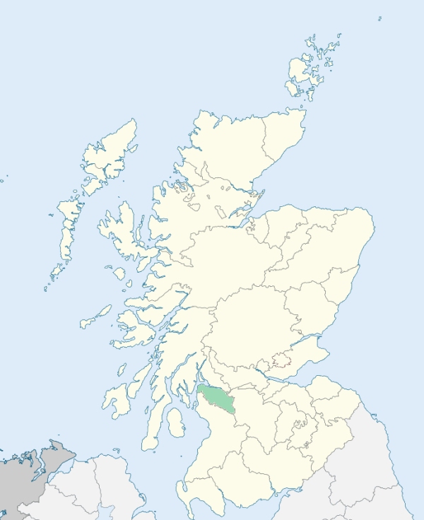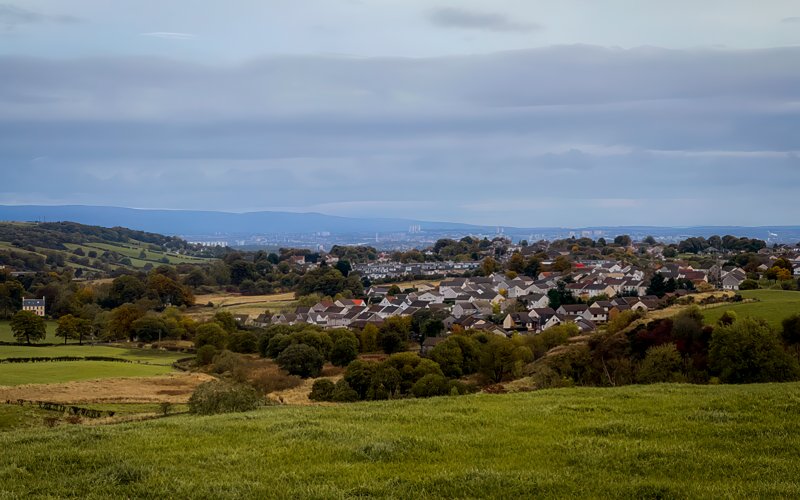
Neilston is a parish in the central part of the upper ward of Renfrewshire. It is bounded on the south by Ayrshire, and on other sides by the parishes of Lochwinnoch, Abbey-Paisley, Eastwood, and Mearns. (1867: The Imperial Gazetteer of Scotland, by John Marius Wilson).
Barrhead, Chapel or Chappell, Crofthead, Cross Arthurlee, Gateside, Grahamstown, Kirkton, Neilston, Newton-Balston, Uplawmuir or Ouplaymoor, West Arthurlea or West Arthurlee
Arthurlee, Glanderston
PRE-REFORMATION GOVERNANCE:
POST-REFORMATION GOVERNANCE:
The vicarage of Neilston belonged to the Abbey of Paisley. In 1594, this parish was annexed to the Presbytery of Glasgow, but it was soon restored again to that of Paisley. At Fereneze within the bounds there was a chapel of St Conal, where also is St Conal's Well.
Disjoined Quoad Sacra Parishes:
Barrhead. On 28 May 1838 a constitution was granted to a chapel here. The parish was disjoined from Neilston by the Court of Teinds, 15 July 1868.
Caldwell. A church was built in 1888. The parish was disjoined from Neilston and Beith by the Court of Teinds, 10 March 1891.
Includes ministers, licentiates, assistants, readers, and clerks.
Neilston (QO)
Barrhead (QS)
Caldwell (QS)
(1928: Fasti Ecclesiæ Scoticanæ, by Hew Scott, D. D.)
Parish registers turned over to the Registrar-General, as a result of the Registration of Births, Deaths, and Marriages (Scotland) Act of 1854. The letters B. D. and M. indicate Births (or Baptisms), Deaths (or Burials), and Marriages (or Proclamations of Banns) respectively. Numbers indicate separate volumes or books. Note: These records are by no means complete or without damage; consult the Detailed List of the Old Parochial Registers of Scotland (1872) to learn more about the condition of the records.
| OPR and RD Numbers | |||
|---|---|---|---|
| Date Range | Name | Number | Type |
| 1688-1854 | Neilston | 572 | OPR |
| 1855-1866 | Neilston | 572 | RD |
| 1867-1968 | Neilston | 572-1 | RD |
| 1867-1878 | Barrhead | 572-2 | RD |
| 1879-1968 | Barrhead and Levern | 572-2 | RD |
| 1969-1971 | Barrhead | 572 | RD |
| 1972-2008 | Barrhead | 649 | RD |
| 2009 | East Renfrewshire, Barrhead | 649 | RD |
| 2026 | (Neilston) East Renfrewshire Council; Neilston Community Council Uplawmoor Community Council | ||
| 2026 | (Barrhead) East Renfrewshire Council; Barrhead Community Council | ||
(2009: Parishes and Registration Districts of Scotland - Old and New, National Records of Scotland)
Local community councils (2026) are provided as a potential source of additional information for settlements within the original boundaries of the parish. (Source)
Statistics from informal and official censuses
Anderson, Brown, Campbell, Craig, Ferguson, Miller, Smith, Stewart, Wilson, Young
Note: Names appearing in research materials, other than censuses. Simple names (First name, surname only) have been omitted unless they appear associated with large properties. All women's names, and men's names with occupations, military ranks, or peerage titles are included.
By the Reverend Mr John Monteath.
"In January 1791, there were in the parish 480 families containing 1187 males, and 1143 females; in all, 2330 souls, of whom 908 were below 15 years of age. There were 69 Seceders, 1 Episcopal, and 1 Roman Catholic. Of the 69 Seceders, a great number are infants, or children. There were 144 servants employed in husbandry, household-work, &c. Of the above 2330 souls, 439 live in the village of Barrhead, and its neighbourhood at the east end of the parish; 472 live in the village Neilston; and 141 at Uplamoor, a village in the west end of the parish.
When it is considered, that there are two cotton mills erected, and two more erecting, one large printfield, and twelve bleachfields, the mode of precisely ascertaining the number of inhabitants for any given time beyond a few months, is but uncertain. At these fields, for example, there are a number of women not having families, nor residing in families, but in women-houses, so called, erected on purpose near almost every field, where they lodge only during the working seasons, repairing to the neighbouring towns during the winter months, and perhaps not returning again to the same fields. This migratory class, in number about 93, lodge at present in seven women-houses, and are not included in the population.
The number of farmers at present is about 114. The number of workmen employed in the cotton mills is 301, of males and females of all ages. There are not less than nineteen inns, or ale-houses in this parish, and no fewer than eight of these in the village of Neilston."
(This section contains excerpts, at times restructured or paraphrased, from an article appearing in Statistical Account of Scotland, Sir John Sinclair, 1791-1799)
Primary Sources:
Statistical Account of Scotland (1791-1799), Volume 2, p. 141
New Statistical Account of Scotland (1834-1845), Volume 7, Section I, p. 307
See Parish Page Sources for all source information and links.