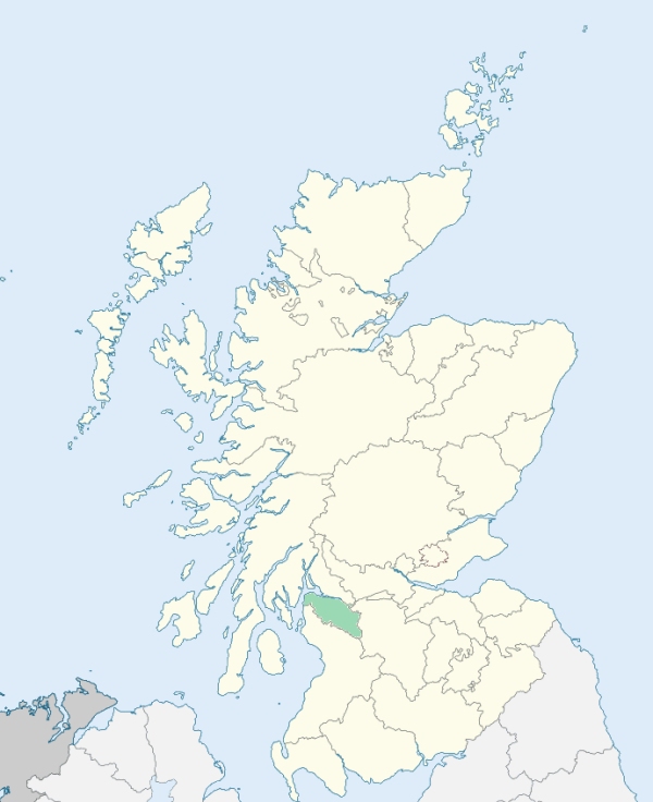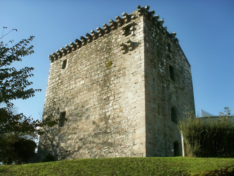
Mearns is a parish in the south-east of Renfrewshire. It is bounded by Lanarkshire, Eaglesham, Ayrshire, Neilston, Eastwood, and Cathcart. (1867: The Imperial Gazetteer of Scotland, by John Marius Wilson).
Busby, Dodside, Mearns or Newton Mearns
Capelrig, Greenbank
PRE-REFORMATION GOVERNANCE:
POST-REFORMATION GOVERNANCE:
The vicarage of Mearns belonged to the Abbey of Paisley. In the parish church there was an altar of St Bride. At Capelrig in the parish stood a chapel belonging to the Order of the Temple (Knights Templar).
Disjoined Quoad Sacra Parishes:
Giffnock. Disjoined from Eastwood, Mearns, and Thornliebank, 10 January 1919.
Greenbank. A church was built here in 1885. The parish was disjoined from Cathcart, Eastwood, and Mearns by the Court of Teinds, 25 February 1889.
Includes ministers, licentiates, assistants, readers, and clerks.
Mearns (QO)
Giffnock (QS)
Greenbank (QS)
(1928: Fasti Ecclesiæ Scoticanæ, by Hew Scott, D. D.)
Parish registers turned over to the Registrar-General, as a result of the Registration of Births, Deaths, and Marriages (Scotland) Act of 1854. The letters B. D. and M. indicate Births (or Baptisms), Deaths (or Burials), and Marriages (or Proclamations of Banns) respectively. Numbers indicate separate volumes or books. Note: These records are by no means complete or without damage; consult the Detailed List of the Old Parochial Registers of Scotland (1872) to learn more about the condition of the records.
| OPR and RD Numbers | |||
|---|---|---|---|
| Date Range | Name | Number | Type |
| 1756-1854 | Mearns | 571 | OPR |
| 1855-1884 | Mearns | 571 | RD |
| 1885-1964 | Busby | 571-1 | RD |
| 1855-1964 | Newton Mearns | 572-2 | RD |
| 1865-1971 | Eastwood and Mearns | 562 | RD |
| 1972-2003 | Eastwood and Mearns | 650 | RD |
| 2009 | East Renfrewshire; Eastwood | 650 | RD |
| 2026 | East Renfrewshire Council; Mearns East Community Council Mearns West Community Council Busby Community Council | ||
(2009: Parishes and Registration Districts of Scotland - Old and New, National Records of Scotland)
Local community councils (2026) are provided as a potential source of additional information for settlements within the original boundaries of the parish. (Source)
Statistics from informal and official censuses
Anderson, Brown, Craig, Hamilton, Harvie, Pollock, Reid, Russell, Wilson, Young
Note: Names appearing in research materials, other than censuses. Simple names (First name, surname only) have been omitted unless they appear associated with large properties. All women's names, and men's names with occupations, military ranks, or peerage titles are included.
By the Reverend Mr George M'Latchie, Minister.
"From an accurate account taken in 1792, it appeared that there were in the parish 1430 souls; 675 of males, 755 of females, 562 under 16 years of age. In 1755 there were 885 souls in the parish. The present very considerable increase of population, is chiefly owing to the introduction of manufactures, and to the addition of inhabitants to the village of Newton. This is the only village in the parish; there are at present 47 families in it. The most of these are the families of tradesmen and common labourers.
There are two cotton mills in this parish; the number of people employed in both mills are 360. Two bleachfields have been lately established; one employs 13 men and 26 women, the other employs 11 men and 11 women.
The people of this parish are sober, industrious, and economical; respectful to their superiors, and uncommonly friendly and obliging. They are rational in their religious sentiments, and moderate in their religious zeal."
(This section contains excerpts, at times restructured or paraphrased, from an article appearing in Statistical Account of Scotland, Sir John Sinclair, 1791-1799)
Primary Sources:
Statistical Account of Scotland (1791-1799), Volume 17, p. 305
New Statistical Account of Scotland (1834-1845), Volume 7, Section I, p. 512
See Parish Page Sources for all source information and links.