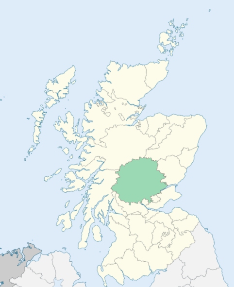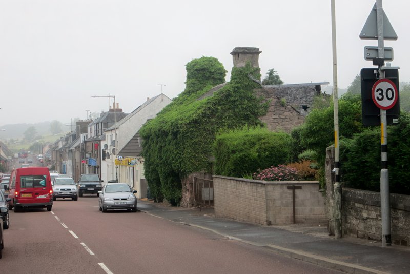
Methven is a parish in the Glenalmond district of Perthshire. It is bounded by Moneydie, Redgorton, Tibbermore, Findogask, and Fowlis Wester. (1867: The Imperial Gazetteer of Scotland, by John Marius Wilson).
Almondbank, Balwhern, Bellstown, Braegrum or Bragrum, Methven, Scroggiehill
Balgowan, Lynedoch, The Cairnies, Tullybeagles
The detached part of Methven situated at Tullybeagles has been transferred to the parish of Auchtergaven. The part of Monzie detached No. 3, which lay south of the River Almond was transferred to the parish of Methven. See affected properties and landholders. (1892: Boundary of counties and parishes in Scotland as settled by the Boundary Commissioners under the Local Government Act, 1889, by Hay Shennan)
PRE-REFORMATION GOVERNANCE:
POST-REFORMATION GOVERNANCE:
The church of this parish was dedicated to St Methven. In 1433 Walter, Earl of Atholl, granted it a collegiate foundation. At Auldbar, within the bounds, there was a chapel.
Includes ministers, licentiates, assistants, readers, and clerks.
(1928: Fasti Ecclesiæ Scoticanæ, by Hew Scott, D. D.)
Parish registers turned over to the Registrar-General, as a result of the Registration of Births, Deaths, and Marriages (Scotland) Act of 1854. The letters B. D. and M. indicate Births (or Baptisms), Deaths (or Burials), and Marriages (or Proclamations of Banns) respectively. Numbers indicate separate volumes or books. Note: These records are by no means complete or without damage; consult the Detailed List of the Old Parochial Registers of Scotland (1872) to learn more about the condition of the records.
| OPR and RD Numbers | |||
|---|---|---|---|
| Date Range | Name | Number | Type |
| 1662-1854 | Methven | 380 | OPR |
| 1855-1963 | Methven | 380 | RD |
| 1964-1969 | Methven and Logiealmond | 380 | RD |
| 2009 | Perth and Kinross, Perth | 390 | RD |
| 2026 | Perth and Kinross Council; Methven Community Council | ||
(2009: Parishes and Registration Districts of Scotland - Old and New, National Records of Scotland)
Local community councils (2026) are provided as a potential source of additional information for settlements within the original boundaries of the parish. (Source)
Statistics from informal and official censuses
Brown, Campbell, Clark, Donaldson, Dow, Duff, Robertson, Scott, Taylor, Young
Note: Names appearing in research materials, other than censuses. Simple names (First name, surname only) have been omitted unless they appear associated with large properties. All women's names, and men's names with occupations, military ranks, or peerage titles are included.
By the Reverend Mr John Dowe, Minister.
"The population of the parish in 1793 was 1786. There were 400 inhabitants in villages, and 1386 in the country. The number of families was 397; 171 belonging to the Established Church, and 226 families of Seceders. There were 120 farmers, 18 shopkeepers, 8 smiths, 13 masons, 15 carpenters, 4 stocking weavers, 13 shoemakers, 9 tailors, 2 butchers, about 12 millers, 70 persons employed in the paper mills, 6 gardeners, 12 retailers of malt liquor and spirits, 11 flax-dressers, and 159 weavers.
The people are sober and industrious, charitable to the poor, and compassionate to objects in distress. They are regular in their attendance on the ordinances of religion, without the ostentation of those, who 'thank God that they are not as other men.' And it is much to the honour of both the religious parties in this parish, that, in all the intercourses of common life, they forget that they worship under separate roofs. The incumbent scarcely knows of an instance of the rancour of bigotry, or the petulance of overweening conceit, among the members of the two congregations."
(This section contains excerpts, at times restructured or paraphrased, from an article appearing in Statistical Account of Scotland, Sir John Sinclair, 1791-1799)
Primary Sources:
Statistical Account of Scotland (1791-1799), Volume 10, p. 609
New Statistical Account of Scotland (1834-1845), Volume 10, p. 142
See Parish Page Sources for all source information and links.