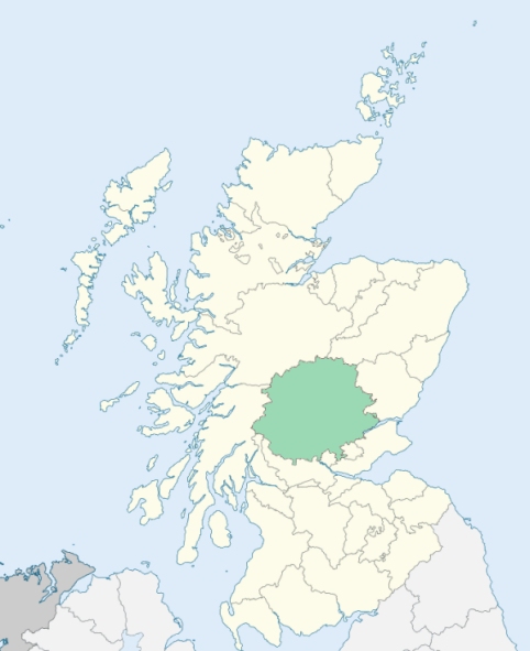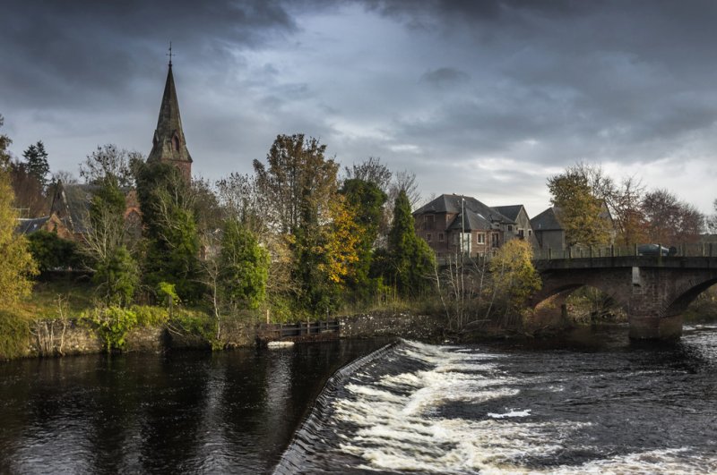
Blairgowrie is a parish in the northeast of Perthshire. It is intersected by the parishes of Kinloch, Bendochy, and Rattray. The parish is divided into two districts by a branch of the Grampian mountains, forming a part of the northern boundary of the valley of Strathmore. (1867: The Imperial Gazetteer of Scotland, by John Marius Wilson)
Blairgowrie, Carsie, Lornty, Muirton
Bamff, Parkhead, Rannagulzion
(1) The parish of Bendochy had two detached parts:
No. 1. Persie, towards the north of the parish of Blairgowrie
No. 2. Drimmie, north of the parish of Rattray
Bendochy detached No. 1 was transferred to the parish of Kirkmichael. Bendochy detached No. 2 was transferred to the parish of Blairgowrie. Blairgowrie detached No. 1 and also the part of Blairgowrie which lay to the east of the boundary between the estate of Rosemount on the west and the estate of Parkhead on the east, were transferred to the parish of Bendochy. The boundary of the second portion thus transferred is a road running form the parish of Rattray on the north through part of the old parish of Blairgowrie to the parish of Bendochy, passing to the east of Rosemount. See affected properties and landholders. (1892: Boundary of counties and parishes in Scotland as settled by the Boundary Commissioners under the Local Government Act, 1889, by Hay Shennan)
(2) The parish of Blairgowrie had two detached parts:
No. 1. Creuchies, north of the parish of Bendochy
No. 2. Blackcraig, north-east of the parish of Clunie
The north part of the parish of Kinloch, marked on the maps as Cochrage Muir, was annexed to Blairgowrie; and thus Blairgowrie detached No. 2 was united with the main part of the parish of Blairgowrie. See affected properties and landholders. (1892: Boundary of counties and parishes in Scotland as settled by the Boundary Commissioners under the Local Government Act, 1889, by Hay Shennan)
PRE-REFORMATION GOVERNANCE:
POST-REFORMATION GOVERNANCE:
The church of Blair in Gowrie belonged to the Abbey of Scone. There were in the parish Wells of St Ninian and St Margaret.
Disjoined Quoad Sacra Parishes:
St Mary's, formerly Brown Street Chapel. St Mary's Parish was disjoined from Blairgowrie on 14 July 1879. The present church was opened 30 Augist 1885.
Includes ministers, licentiates, assistants, readers, and clerks.
Blairgowrie (QO)
St Mary's (QS)
(1928: Fasti Ecclesiæ Scoticanæ, by Hew Scott, D. D.)
Parish registers turned over to the Registrar-General, as a result of the Registration of Births, Deaths, and Marriages (Scotland) Act of 1854. The letters B. D. and M. indicate Births (or Baptisms), Deaths (or Burials), and Marriages (or Proclamations of Banns) respectively. Numbers indicate separate volumes or books. Note: These records are by no means complete or without damage; consult the Detailed List of the Old Parochial Registers of Scotland (1872) to learn more about the condition of the records.
| OPR and RD Numbers | |||
|---|---|---|---|
| Date Range | Name | Number | Type |
| 1647-1854 | Blairgowrie | 335 | OPR |
| 1855-1932 | Blairgowrie | 335 | RD |
| 1833-1934 | Blairgowrie and Rattray | 335 | RD |
| 1935-1971 | Blairgowrie | 335 | RD |
| 1972-2003 | Blairgowrie | 381 | RD |
| 2009 | Perth and Kinross, Blairgowrie | 381 | RD |
| 2026 | Perth and Kinross Council; Blairgowrie and Rattray Community Council | ||
(2009: Parishes and Registration Districts of Scotland - Old and New, National Records of Scotland)
Local community councils (2026) are provided as a potential source of additional information for settlements within the original boundaries of the parish. (Source)
Statistics from informal and official censuses
Anderson, Brown, Campbell, Ferguson, Reid, Robertson, Scott, Smith, Stewart, Young
Note: Names appearing in research materials, other than censuses. Simple names (First name, surname only) have been omitted unless they appear associated with large properties. All women's names, and men's names with occupations, military ranks, or peerage titles are included.
By the Reverend Mr James Johnston, Minister.
"By an accurate enumeration made in October, November, and December 1793, there are in the country: 261 families containing 590 males and 636 females, total 1226 souls; in the village 133 families containing 183 males, 242 females, total 425; in all 393 families containing 773 males and 878 females, 1651 souls.
There are 100 weavers, 10 tailors, 14 carpenters, 3 wheel-wrights, 1 cooper, 8 shoemakers, 18 shopkeepers, 7 smiths, 13 masons, 8 flax-dressers, 7 lint millers, 7 corn millers, 1 dyer, 4 carriers, 3 butchers, 1 baker, and 23 ale and spirit sellers. There are 1507 members of the Established Church, 30 of the Presbytery of Relief, 100 Angiburgher Seceders, 12 Episcopalians, and 2 Roman Catholics.
The inhabitants of this parish are, in general, sober, industrious, attentive to their respective callings, and exemplarily regular in their attendance on divine ordinances. They are charitably disposed, and seem contented with their condition. They enjoy, in a reasonable degree, the benefits and comforts of society. Their house, dress, and manner of living, are considerably improved."
(This section contains excerpts, at times restructured or paraphrased, from an article appearing in Statistical Account of Scotland, Sir John Sinclair, 1791-1799)
Primary Sources:
Statistical Account of Scotland (1791-1799), Volume 17, p. 191
New Statistical Account of Scotland (1834-1845), Volume 10, p. 896
See Parish Page Sources for all source information and links.