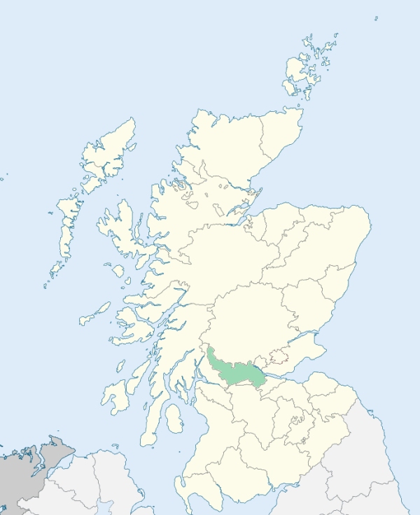
Baldernock is a parish on the southern border of Stirlingshire. It is bounded on the south by Lanarkshire, and on other sides by the parishes of East Kilpatrick, Strathblane, and Campsie. (1867: The Imperial Gazetteer of Scotland, by John Marius Wilson).
Baldernock, Balmore, Fluchter
Craigmaddie
PRE-REFORMATION GOVERNANCE:
POST-REFORMATION GOVERNANCE:
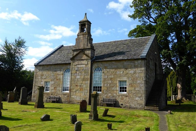
The rectory of Baldernock was of old a very small parish. In 1749 the Commissioners for the Plantation of Kirks greatly enlarged its area by adding part of the parish of Campsie. Baldernock Church was rebuilt in 1795.
Includes ministers, licentiates, assistants, readers, and clerks.
(1928: Fasti Ecclesiæ Scoticanæ, by Hew Scott, D. D.)
Parish registers turned over to the Registrar-General, as a result of the Registration of Births, Deaths, and Marriages (Scotland) Act of 1854. The letters B. D. and M. indicate Births (or Baptisms), Deaths (or Burials), and Marriages (or Proclamations of Banns) respectively. Numbers indicate separate volumes or books. Note: These records are by no means complete or without damage; consult the Detailed List of the Old Parochial Registers of Scotland (1872) to learn more about the condition of the records.
| OPR and RD Numbers | |||
|---|---|---|---|
| Date Range | Name | Number | Type |
| 1623-1854 | Baldernock | 471 | OPR |
| 1855-1969 | Baldernock | 471 | RD |
| 2009 | Stirling, Lennoxtown | 475 | RD |
| 2026 | East Dunbartonshire Council; Baldernock Community Council | ||
(2009: Parishes and Registration Districts of Scotland - Old and New, National Records of Scotland)
Local community councils (2026) are provided as a potential source of additional information for settlements within the original boundaries of the parish. (Source)
Statistics from informal and official censuses
Butler, Jackson, Johnston, Knox, Livingstone, Marshall, Mitchell, Morrison, Reid, Wilson,
Note: Names appearing in research materials, other than censuses. Simple names (First name, surname only) have been omitted unless they appear associated with large properties. All women's names, and men's names with occupations, military ranks, or peerage titles are included.
By the Reverend Mr James Cooper, Minister.
"In the month of April 1794, the number of families was 137, of persons 620, of whom there are 136 under 10 years of age. The greater part of the inhabitants of this parish devote their time to that most innocent and most useful of secular employments, the cultivation of the earth. There are 45 farmers, including 12 feuars, who cultivate their own grounds, 36 labourers, 43 male servants, all labourers, 38 female servant, almost all labourers, 10 weavers of household cloth, 1 tailor, 3 shoemakers, 3 masons, 3 carpenters, 2 millers, 2 gardeners, 2 smiths, 1 engraver, 1 flax-dresser, 4 miners, and one man who exercises the several occupations of weaver, constable, physician, surgeon, apothecary, and man-midwife.
The people are, in general, remarkable for a sober and regular deportment; an advantage, in a great measure, to be ascribed to their occupation, and to want of manufactures, whose boasted benefits make but a poor compensation for their baneful influence on the morals of the people."
(This section contains excerpts, at times restructured or paraphrased, from an article appearing in Statistical Account of Scotland, Sir John Sinclair, 1791-1799)
Primary Sources:
Statistical Account of Scotland (1791-1799), Volume 15, p. 271
New Statistical Account of Scotland (1834-1845), Volume 8, Section II, p. 169
See Parish Page Sources for all source information and links.