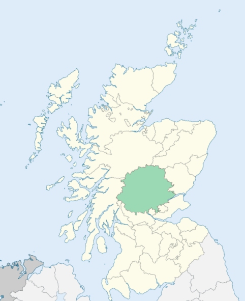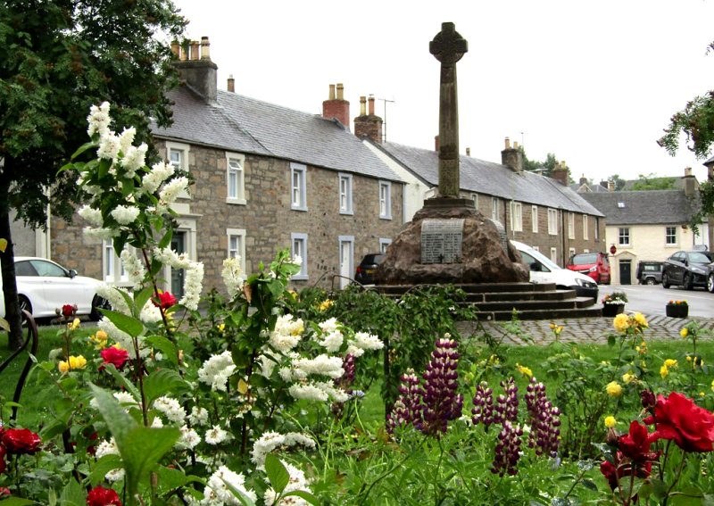
Dunning is a parish on the south-east border of Perthshire. It is bounded by Kinross-shire, and by the parishes of Fossoway, Auchterarder, Gask, Forteviot, and Forgandenny. (1867: The Imperial Gazetteer of Scotland, by John Marius Wilson).
Dunning, Newton of Pitcairns
Duncru, Garvock, Pitcairns
Auchterarder and Dunning parishes each had a small detached part, there being, however, this peculiarity that the detached part of Dunning was separated from the main portion of Dunning only by the detached part of Auchterarder. The detached part of Auchterarder was transferred to Dunning, and thus the detached part of Dunning has been united to the main portion of the parish. See affected properties and landholders. (1892: Boundary of counties and parishes in Scotland as settled by the Boundary Commissioners under the Local Government Act, 1889, by Hay Shennan)
PRE-REFORMATION GOVERNANCE:
POST-REFORMATION GOVERNANCE:
The church of Dunning, dedicated to St Serf, was built in the early years of the thirteenth century. The church belonged to the Abbey of Inchaffray. A fair of St Findoch was held at Dunning.
Includes ministers, licentiates, assistants, readers, and clerks.
(1928: Fasti Ecclesiæ Scoticanæ, by Hew Scott, D. D.)
Parish registers turned over to the Registrar-General, as a result of the Registration of Births, Deaths, and Marriages (Scotland) Act of 1854. The letters B. D. and M. indicate Births (or Baptisms), Deaths (or Burials), and Marriages (or Proclamations of Banns) respectively. Numbers indicate separate volumes or books. Note: These records are by no means complete or without damage; consult the Detailed List of the Old Parochial Registers of Scotland (1872) to learn more about the condition of the records.
| OPR and RD Numbers | |||
|---|---|---|---|
| Date Range | Name | Number | Type |
| 1691-1854 | Dunning | 350 | OPR |
| 1855-1968 | Dunning | 350 | RD |
| 2009 | Perth and Kinross, Auchterarder | 395 | RD |
| 2026 | Perth and Kinross Council; Dunning Community Council | ||
(2009: Parishes and Registration Districts of Scotland - Old and New, National Records of Scotland)
Local community councils (2026) are provided as a potential source of additional information for settlements within the original boundaries of the parish. (Source)
Statistics from informal and official censuses
Campbell, Chalmers, Cree, Dougall, Henderson, Lawson, Marshall, Miller, Robertson, Winton
Note: Names appearing in research materials, other than censuses. Simple names (First name, surname only) have been omitted unless they appear associated with large properties. All women's names, and men's names with occupations, military ranks, or peerage titles are included.
By a Friend to Statistical Inquiries.
"The population is now about 1600. The only manufacture carried on here is the making a few coarse linens for the Glasgow and Perth markets. There are 63 weavers in the parish, about 40 of whom are employed in factory work, 28 wrights, 27 masons, 4 blacksmiths, 7 shoemakers, 12 tailors. The parish is accommodated with eight inns or public houses, of which number six are in the village of Dunning. A considerable quantity of coarse linen yarn is spun by the women in the parish, not a few of whom spin on the two-handed wheel.
The inhabitants are not distinguished on account of any peculiarities in their dress, customs, or manners. They are generally of an open and communicative disposition, industrious in their labours, and generous in their intercourse with society."
(This section contains excerpts, at times restructured or paraphrased, from an article appearing in Statistical Account of Scotland, Sir John Sinclair, 1791-1799)
Primary Sources:
Statistical Account of Scotland (1791-1799), Volume 19, p. 434
New Statistical Account of Scotland (1834-1845), Volume 10, p. 716
See Parish Page Sources for all source information and links.