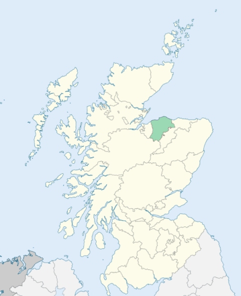
Dyke and Moy is a united parish partly in Nairnshire, but chiefly in Morayshire. It is bounded on the north by the Moray Firth, and on other sides by the parishes of Kinloss, Forres, Edenkillie, Ardclach, and Auldearn. (1867: The Imperial Gazetteer of Scotland, by John Marius Wilson).
Broom of Moy, Dyke, Kintessack, Whitemire
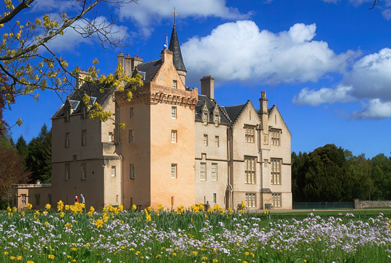
Brodie, Kincorth
Part of the parish of Dyke and Moy, situated on the east of the River Findhorn at Moy Carse, formed part of the county of Nairn, being a detached part of that county. This detached part (while remaining in the parish of Dyke and Moy) was transferred to the county of Elgin. See affected properties and landholders. (1892: Boundary of counties and parishes in Scotland as settled by the Boundary Commissioners under the Local Government Act, 1889, by Hay Shennan)
PRE-REFORMATION GOVERNANCE:
POST-REFORMATION GOVERNANCE:
The parishes of Dyke, Moy, and Culbin were united on 24 January 1618.
Dyke. The church of Dyke was dedicated to St Andrew. It was a mensal kirk of the Bishop of Moray. There was a chapel of St Ninian in this parish.
Moy. Moy was a prebend of Elgin Cathedral. The parish of Moy was added to Dyke in 1585 and formally united to it on 24 January 1618.
Culbin. Lying along the shore of the Moray Firth, the church and parish of Culbin have suffered greatly from blowing sand. Before 1700, almost the whole parish, with its few remaining houses, had been buried in the sand drift.
(1928: Fasti Ecclesiæ Scoticanæ, by Hew Scott, D. D.)
Includes ministers, licentiates, assistants, readers, and clerks.
Dyke, Moy, and Culbin (QO)
Moy (QO)
(1928: Fasti Ecclesiæ Scoticanæ, by Hew Scott, D. D.)
Parish registers turned over to the Registrar-General, as a result of the Registration of Births, Deaths, and Marriages (Scotland) Act of 1854. The letters B. D. and M. indicate Births (or Baptisms), Deaths (or Burials), and Marriages (or Proclamations of Banns) respectively. Numbers indicate separate volumes or books. Note: These records are by no means complete or without damage; consult the Detailed List of the Old Parochial Registers of Scotland (1872) to learn more about the condition of the records.
| OPR and RD Numbers | |||
|---|---|---|---|
| Date Range | Name | Number | Type |
| 1635-1854 | Dyke | 133 | OPR |
| 1855-1954 | Dyke | 133 | RD |
| 2009 | Moray, Forres | 281 | RD |
| 2026 | Moray Council; Dyke Landward Community Council | ||
(2009: Parishes and Registration Districts of Scotland - Old and New, National Records of Scotland)
Local community councils (2026) are provided as a potential source of additional information for settlements within the original boundaries of the parish. (Source)
Statistics from informal and official censuses
Cameron, Clark, Fraser, Grant, Hay, Munro, Ross, Scott, Simpson, Smith
Note: Names appearing in research materials, other than censuses. Simple names (First name, surname only) have been omitted unless they appear associated with large properties. All women's names, and men's names with occupations, military ranks, or peerage titles are included.
By the Reverend Mr John Dunbar.
"In 1788, the population was found to be 1564 souls. At another enrollment, in 1793 (when the number had become 35 less), the various information then obtained as as follows: 1529 souls, 345 families, 728 males, 801 females, 331 inhabited houses.
The people are, very generally, decent, quiet, and well affected to the religion and government under which they live. They are neither addicted to a seafaring or military life; yet the frequency of recruiting parties reconciles them, when that business is accompanied with music, mirth, and drink. They can live poorly, to dress neatly; but few think of laying any thing up. On public occasions, there are not a few who will spend, what they can ill afford, in vying to be neighbour-like, with others who are either more rich, or more inconsiderate than themselves. In general, they are better fed and clothed, and have greater variety of convenient furniture, than they had 40 years ago. But the use of tea makes rather an alarming progress among many, who need a better nourishment, at less expence."
(This section contains excerpts, at times restructured or paraphrased, from an article appearing in Statistical Account of Scotland, Sir John Sinclair, 1791-1799)
Primary Sources:
Statistical Account of Scotland (1791-1799), Volume 20, p. 192
New Statistical Account of Scotland (1834-1845), Volume 13, Section II, p. 202
See Parish Page Sources for all source information and links.