Maps of each day's travels and sites visited. Click on a map image to load the full map in a new tab. Switch to Earth view and zoom in on a marker to see aerial views of castles, stone circles, etc., or Street view to take a virtual walk around the villages, towns, and cities. All map data and images © 2019, Google.
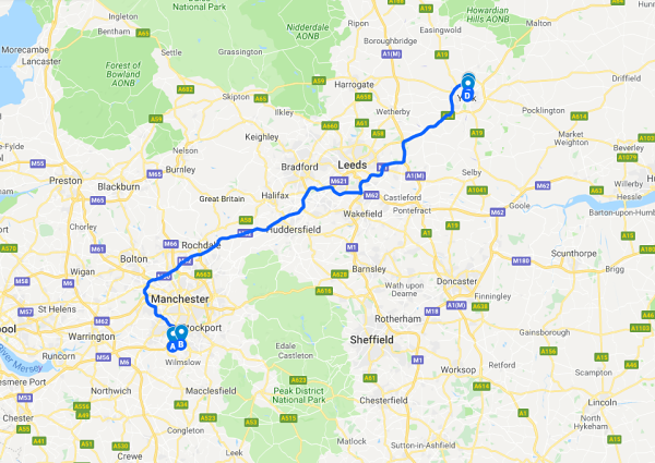
Marked sites: Manchester International Airport, Heald Green Pub, Feversham Lodge and Bay Horse Pub, York

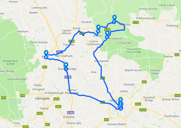
Marked sites: Castle Howard, Byland Abbey, Fountains Abbey, Pateley Bridge
Marked sites: Merchant Adventurer's Hall, Holy Trinity Church, York Minster, Rievaulx Abbey, Ripon Cathedral, Devil's Arrows standing stones
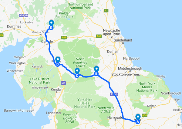
Marked sites: Barnard Castle, Brough Castle, Brougham Castle, Bessiestown Farm Guest House
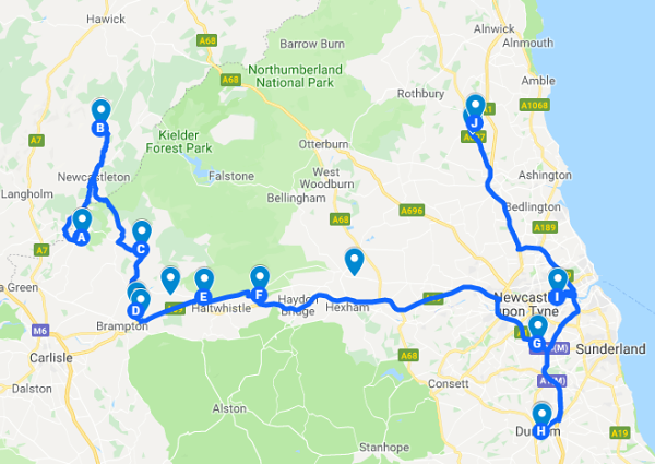
Marked sites: Hermitage Castle, Bewcastle Runic Cross, Lanercost Priory, Naworth Castle, Birdoswald Roman Fort, Walltown crags, Vindolanda Roman Fort,Angel of the North, Durham Castle, Durham Cathedral, Segedunum (Wallsend)

Marked sites: Alnwick Castle, Barter Books, Warkworth Castle, Langley Castle, The Rat Inn, Castlerigg Stone Circle, Grasmere, Furness Abbey

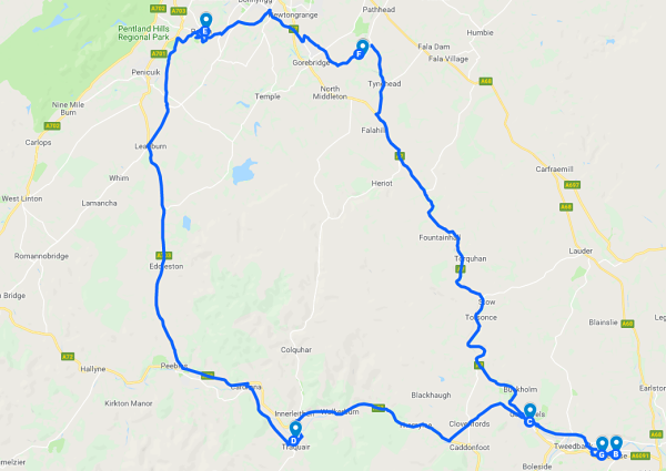
Marked sites: Melrose Abbey, Galashiels, Traquair House, Rosslyn Chapel, Crichton Castle
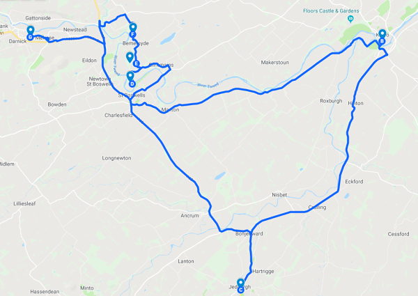
Marked sites: Kelso Abbey, Jedburgh Abbey, Dryburgh Abbey, William Wallace Statue, Scott's View
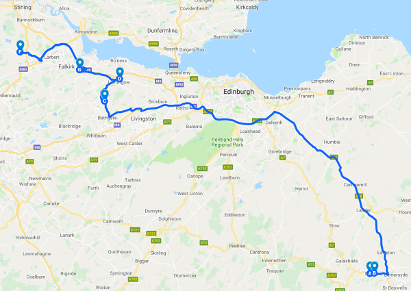
Marked sites: Melrose Abbey, Torphichen Preceptory, Linlithgow Palace, The Topps Farm, Oaklands Bed & Breakfast
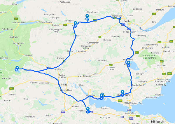
Marked sites: Inchmahome Priory, Crieff, Fowlis Wester Stone Circle, Loch Leven, Dunfermline Abbey, Culross Abbey, Culross Palace
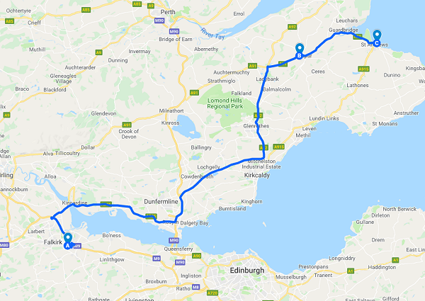
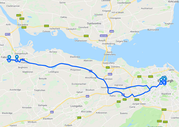
Marked sites: Edinburgh: Castle Terrace Car Park, Waverley Station, Museum of Scotland, Greyfriars Bobby's, Princes Street Gardens, The Royal Mile, Deacon Brodies, Falkirk: Callendar House
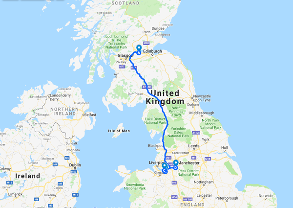
Marked sites: Oaklands Bed & Breakfast, Charnwood Bed & Breakfast, The Bear's Paw in Frodsham, Manchester International Airport
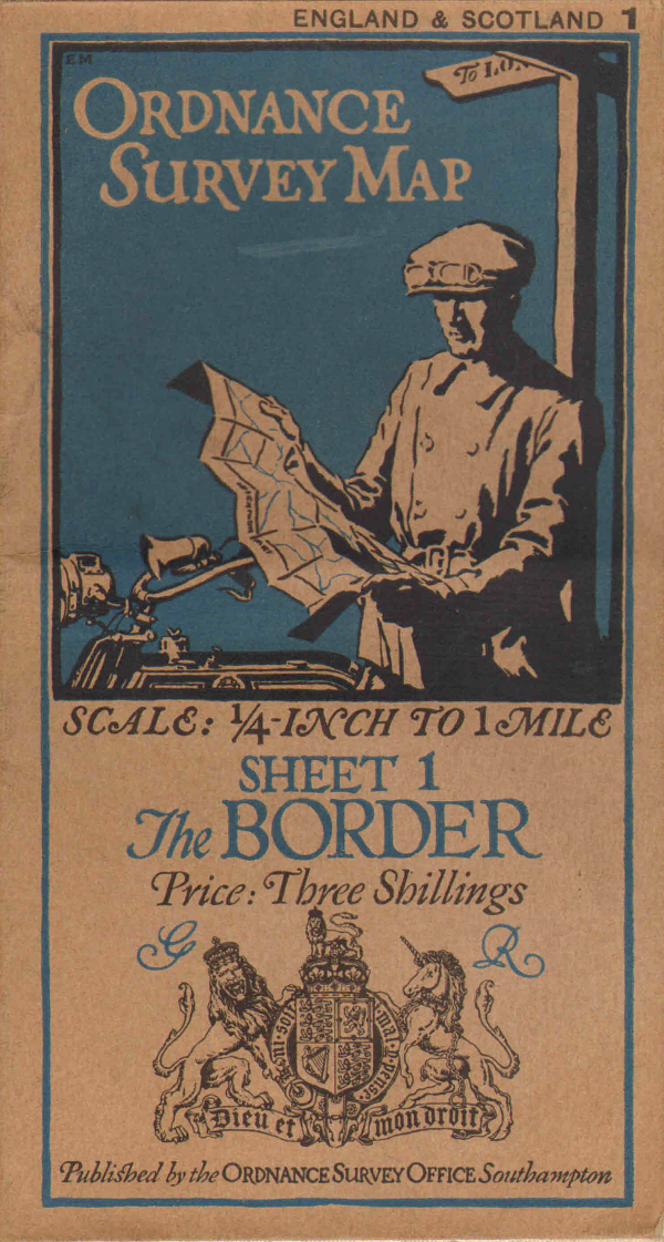
Ordnance Survey (OS) is the national mapping agency for Great Britain.
The origins of the Ordnance Survey lie in the aftermath of the Jacobite rising of 1745 which was finally defeated by forces loyal to the government at the Battle of Culloden in 1746. Prince William, Duke of Cumberland realised that the British Army did not have a good map of the Scottish Highlands to locate Jacobite dissenters such as Simon Fraser, 11th Lord Lovat so that they could be put on trial. In 1747, Lieutenant-Colonel David Watson proposed the compilation of a map of the Highlands to help to subjugate the clans.
In 1801 the first one-inch-to-the-mile map was published, detailing the county of Kent, with Essex following shortly afterwards. The Kent map was published privately and stopped at the county border, while the Essex maps were published by Ordnance Survey and ignore the county border, setting the trend for future Ordnance Survey maps.
Read more about the Ordnance Survey at Wikipedia