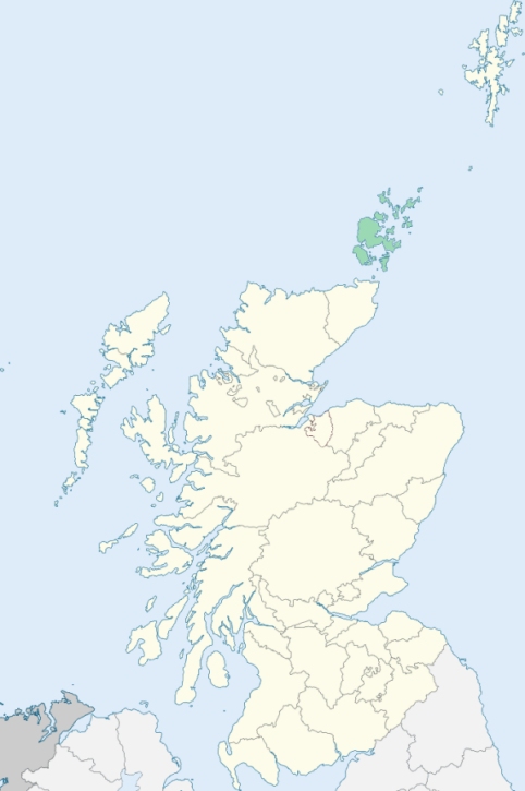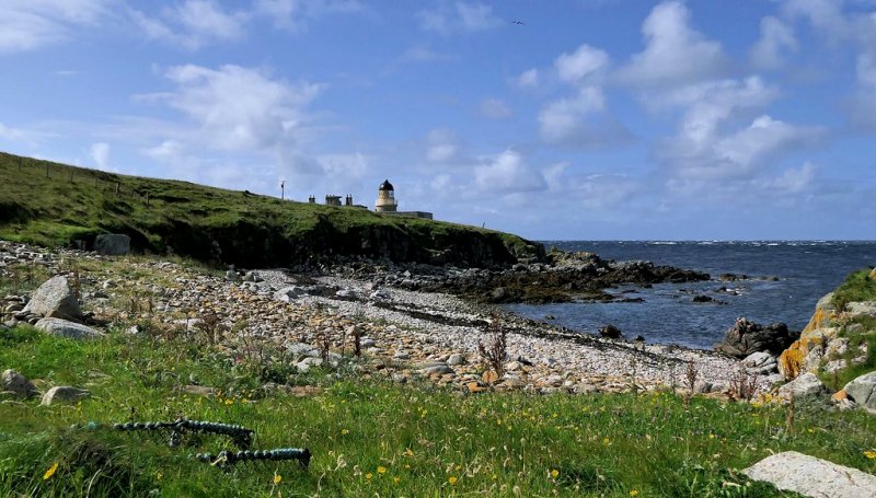
Hoy and Graemsay is a united parish in the south-west of Orkney. It comprehends the island of Graemsay and the northern part, to the extent of about 4¾ miles each way, of the island of Hoy. (1867: The Imperial Gazetteer of Scotland, by John Marius Wilson).
Hoy. Hoy is the largest of the Orkney islands, except Pomona. It lies at the south-west of the Orkney group, and extends from north-north-west to south-south-east. It is separated from the Stromness district of Pomona by Hoy Sound, from the islands of Burray and South Ronaldsay, by Scapa Flow, and from Caithness-shire, by the western part of the Pentland Firth. (1867: The Imperial Gazetteer of Scotland, by John Marius Wilson).
Graemsay. Graemsay is one of the Orkney islands. It lies in Hoy Sound immediately south-east of Hoy Mouth, ½ mile south of the town of Stromness, and ½ mile east of Bowkirk in Hoy Island. (1867: The Imperial Gazetteer of Scotland, by John Marius Wilson).
Hoy, Quoyness, Rackwick
PRE-REFORMATION GOVERNANCE:
POST-REFORMATION GOVERNANCE:
These two parishes were united in the sixteenth century. In 1615 Walls also was joined with them. It was, however, severed again from them in 1635. Each of the two united parishes still has its own church.
Hoy. Hoy was a prebend and commune kirk of Kirkwall Cathedral. This parish includes only the northern part of the island of Hoy.
Graemsay. The church of Graemsay is now in use as a mission chapel.
Includes ministers, licentiates, assistants, readers, and clerks.
(1928: Fasti Ecclesiæ Scoticanæ, by Hew Scott, D. D.)
Parish registers turned over to the Registrar-General, as a result of the Registration of Births, Deaths, and Marriages (Scotland) Act of 1854. The letters B. D. and M. indicate Births (or Baptisms), Deaths (or Burials), and Marriages (or Proclamations of Banns) respectively. Numbers indicate separate volumes or books. Note: These records are by no means complete or without damage; consult the Detailed List of the Old Parochial Registers of Scotland (1872) to learn more about the condition of the records.
| OPR and RD Numbers | |||
|---|---|---|---|
| Date Range | Name | Number | Type |
| 1774-1854 | Hoy | 20 | OPR |
| 1777-1854 | Graemsay | 20 | OPR |
| 1855-1971 | Hoy and Graemsay | 20 | RD |
| 1972-2003 | Hoy | 150 | RD |
| 2009 | Orkney Islands, Hoy | 150 | RD |
| 2026 | Orkney Islands Council; Graemsay, Hoy and Walls Community Council | ||
(2009: Parishes and Registration Districts of Scotland - Old and New, National Records of Scotland)
Local community councils (2026) are provided as a potential source of additional information for settlements within the original boundaries of the parish. (Source)
Statistics from informal and official censuses
Davidson, Lyon, Manson, Mowat, Ritch, Sinclair, Skinner, Sutherland, Thomson, Wilson
Note: Names appearing in research materials, other than censuses. Simple names (First name, surname only) have been omitted unless they appear associated with large properties. All women's names, and men's names with occupations, military ranks, or peerage titles are included.
By the Reverend Mr Robert Sands.
"(Hoy) The population in 1755 was 520; of late it has considerably diminished. The inhabitants may now amount to 250. The number of burials do not exceed 3 or 4 each year; the births are from 6 to 8. There is no village in the parish.
(Gramesay) The population of the parish is much the same as it was 50 years ago. Its inhabitants may now amount to about 160; the number of burials do not exceed 3 or 4 each year; the births about 8 or 10 yearly. There is no village in the island."
(This section contains excerpts, at times restructured or paraphrased, from an article appearing in Statistical Account of Scotland, Sir John Sinclair, 1791-1799)
Primary Sources:
Statistical Account of Scotland (1791-1799), Volume 16, p. 245
New Statistical Account of Scotland (1834-1845), Volume 15, Section III, p. 40
See Parish Page Sources for all source information and links.