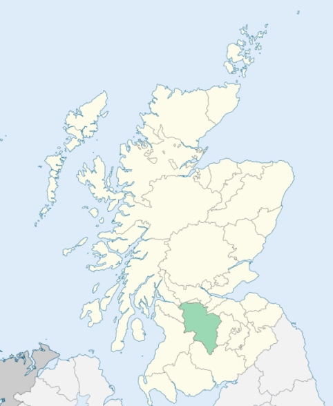
Cambuslang is a parish in Lanarkshire. It is bounded by the parishes of Old Monkland, Blantyre, East Kilbride, Carmunnock, and Rutherglen. (1867: The Imperial Gazetteer of Scotland, by John Marius Wilson).
Bushyhill, Chapelton, Cullochburn, Dalton, East Coats, Flemington, Hallside, Hutchison, Kirkhill, Lightburn, Newton, Sauchiebog, Silverbanks, Vicarland, West Coats
Caldergrove
PRE-REFORMATION GOVERNANCE:
POST-REFORMATION GOVERNANCE:
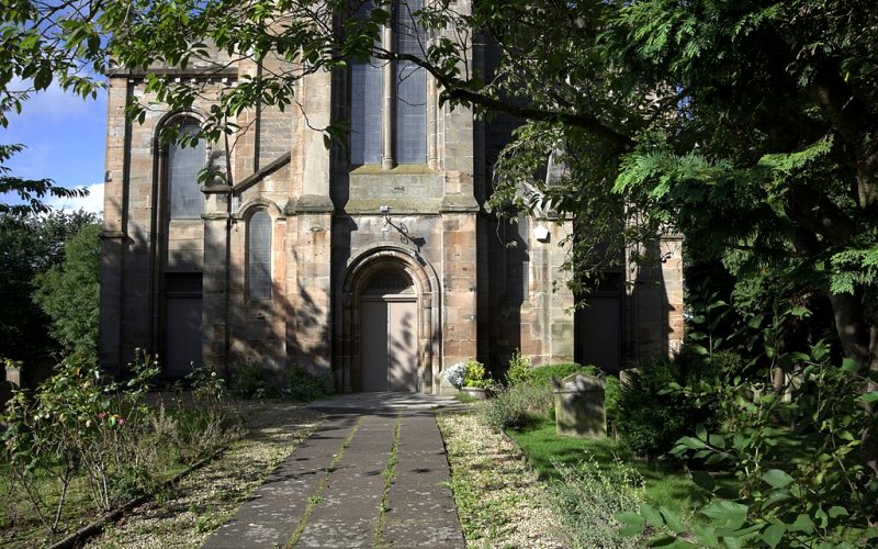
The rectory of Cambuslang was a prebend of Glasgow. Its church was dedicated to St Cadoc. Beside the Kirk Burn, near the Parish Church, stood a chapel of St Mary, which gives its name to the Lands of Chapel. At the village of Spital in the parish there was a hospital of St Thomas. Cambuslang Church was rebuilt in 1743. There are mission chapels within the bounds at Morriston and Newton of Cambuslang.
Disjoined Quoad Sacra Parishes:
Hallside. The parish of Hallside was disjoined from Cambuslang, 15 March 1901.
West Cambuslang. This parish was disjoined from Cambuslang, 11 January 1901.
Includes ministers, licentiates, assistants, readers, and clerks.
Cambuslang (QO)
Hallside (QS)
West Cambuslang (QS)
(1928: Fasti Ecclesiæ Scoticanæ, by Hew Scott, D. D.)
Parish registers turned over to the Registrar-General, as a result of the Registration of Births, Deaths, and Marriages (Scotland) Act of 1854. The letters B. D. and M. indicate Births (or Baptisms), Deaths (or Burials), and Marriages (or Proclamations of Banns) respectively. Numbers indicate separate volumes or books. Note: These records are by no means complete or without damage; consult the Detailed List of the Old Parochial Registers of Scotland (1872) to learn more about the condition of the records.
| OPR and RD Numbers | |||
|---|---|---|---|
| Date Range | Name | Number | Type |
| 1657-1854 | Cambuslang | 627 | OPR |
| 1855-1971 | Cambuslang | 627 | RD |
| 1972-2004 | Cambuslang | 573 | RD |
| 2009 | South Lanarkshire, Carmunnock | 573 | RD |
| 2026 | South Lanarkshire Council; Cambuslang Community Council | ||
(2009: Parishes and Registration Districts of Scotland - Old and New, National Records of Scotland)
Local community councils (2026) are provided as a potential source of additional information for settlements within the original boundaries of the parish. (Source)
Statistics from informal and official censuses
Anderson, Brown, Campbell, Hamilton, Muir, Paterson, Robertson, Smith, Thomson, Wilson
Note: Names appearing in research materials, other than censuses. Simple names (First name, surname only) have been omitted unless they appear associated with large properties. All women's names, and men's names with occupations, military ranks, or peerage titles are included.
By the Reverend Dr James Meek.
"The population in April 1791, was 1288 persons, of whom 657 were males, and 631 were females. There were 337 below the age of 10. Of these, 677 reside in 6 villages, being mostly colliers, weavers and cotton spinner; 611 reside in the country, being mostly farmers and cottagers. There were about 60 Dissenters from the Established Church.
There were 74 farmers, 27 day-labourers 65 men-servants, 67 women-servants, 62 colliers, 120 weavers including journeymen, 50 cotton spinners including boys and girls, 14 masons and wrights including journeymen and apprentices, 8 smiths, including journeymen and apprentices, 4 tailors, and 4 millers including servants, 12 retailers of British spirits, 3 grocers, 7 carters, 3 gardeners, 1 plasterer, 1 thatcher, 1 surgeon, and 2 midwives."
(This section contains excerpts, at times restructured or paraphrased, from an article appearing in Statistical Account of Scotland, Sir John Sinclair, 1791-1799)
Primary Sources:
Statistical Account of Scotland (1791-1799), Volume 5, p. 241
New Statistical Account of Scotland (1834-1845), Volume 6, p. 416
See Parish Page Sources for all source information and links.