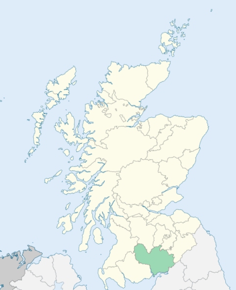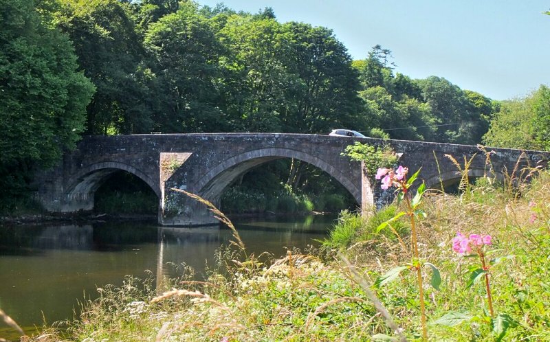
Hoddom is a parish in Annandale, Dumfriesshire. It is bounded by Tundergarth, Middlebie, Annan, Cummertrees, and St Mungo. (1867: The Imperial Gazetteer of Scotland, by John Marius Wilson).
Bridekirk, Burnfoot, Ecclefechan, Hoddam or Hoddom
Burnfoot, Knockhill
PRE-REFORMATION GOVERNANCE:
POST-REFORMATION GOVERNANCE:
The three parishes of Hoddom, Ecclesfechan, and Luce were united in 1609. The church of Hoddam belonged to the Archbishop of Glasgow. There was a Well of St Bride. The church of Ecclesfechan was dedicated to St Fechan of Fore.
Disjoined Quoad Sacra Parishes:
Brydekirk. The church was built in 1835, mainly by Mrs Dirom of Mount Annan. In 1836 it was constituted a chapel with a separate district. on 26 January 1853 the parish of Brydekirk was disjoined from Annan and Hoddom. The name is taken from an ancient chapel of St Bride here.
Includes ministers, licentiates, assistants, readers, and clerks.
Hoddom (QO)
Brydekirk (QS)
(1928: Fasti Ecclesiæ Scoticanæ, by Hew Scott, D. D.)
Parish registers turned over to the Registrar-General, as a result of the Registration of Births, Deaths, and Marriages (Scotland) Act of 1854. The letters B. D. and M. indicate Births (or Baptisms), Deaths (or Burials), and Marriages (or Proclamations of Banns) respectively. Numbers indicate separate volumes or books. Note: These records are by no means complete or without damage; consult the Detailed List of the Old Parochial Registers of Scotland (1872) to learn more about the condition of the records.
| OPR and RD Numbers | |||
|---|---|---|---|
| Date Range | Name | Number | Type |
| 1746-1854 | Hoddam | 829 | OPR |
| 1855-1968 | Hoddom | 829 | RD |
| 2009 | Dumfries and Galloway, Lockerbie | 837 | RD |
| 2026 | Dumfries & Galloway Council; Hoddom and Ecclefechan Community Council | ||
(2009: Parishes and Registration Districts of Scotland - Old and New, National Records of Scotland)
Local community councils (2026) are provided as a potential source of additional information for settlements within the original boundaries of the parish. (Source)
Statistics from informal and official censuses
Bell, Carruthers, Graham, Henderson, Irving, Johnstone, Little, Murray, Shannon, Wilson
Note: Names appearing in research materials, other than censuses. Simple names (First name, surname only) have been omitted unless they appear associated with large properties. All women's names, and men's names with occupations, military ranks, or peerage titles are included.
By the Reverend Mr James Yorstoun.
"The population in 1791 was 1198, of whom 554 were males, 644 were females, and 312 were under 10 years of age. There were 1079 members of the Established Church, and 119 Seceders.
In the parish there were 70 farmers who follow farming as their chief occupation, 24 day-labourers, 4 innkeepers, 5 smiths, 6 masons, 7 joiners, 15 weavers, 4 shoemakers, 7 tailors, 3 butchers, 2 millers, 4 bakers, 19 apprentices, 60 male servants, 65 female servants, 7 carriers, 1 tanner, 3 cloggers, and 1 clockmaker.
The village of Ecclesfechan consists of 105 houses and 500 inhabitants. In this village there are two well furnished inns, where passengers meet with good accommodation, and may be provided with post chaises and post horses. There are 2 inns of an inferior kind, 22 tippling houses, and 8 shops."
(This section contains excerpts, at times restructured or paraphrased, from an article appearing in Statistical Account of Scotland, Sir John Sinclair, 1791-1799)
Primary Sources:
Statistical Account of Scotland (1791-1799), Volume 3, p. 347
New Statistical Account of Scotland (1834-1845), Volume 4, Section I, p. 289
See Parish Page Sources for all source information and links.