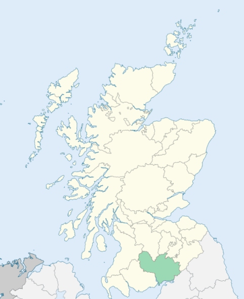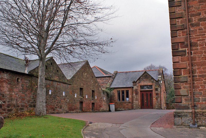
Annan is a parish in the Annandale district of Dumfriesshire. It is bounded on the south by the Solway Firth, and on other sides by the parishes of Cummertrees, Hoddom, Middlebie, Kirkpatrick-Fleming, and Dornock. (1867: The Imperial Gazetteer of Scotland, by John Marius Wilson).
Annan, Bridekirk, Creca, Howgill, Kenziels, Larthat, Lochfield
Northfield
PRE-REFORMATION GOVERNANCE:
POST-REFORMATION GOVERNANCE:
Near the town of Annan, and in the parish, were two hospitals, named How Spital and Spital Ridding. There was a fair at Annan on Ascension Day.
Disjoined Quoad Sacra Parishes:
Brydekirk. The church was built in 1835, mainly by Mrs Dirom of Mount Annan. In 1836 it was constituted a chapel with a separate district. on 26 January 1853 the parish of Brydekirk was disjoined from Annan and Hoddom. The name is taken from an ancient chapel of St Bride here.
Greenknowe. The parish of Greenknowe was disjoined from Annan, and erected by the Court of Teinds, 2 April 1873.
Includes ministers, licentiates, assistants, readers, and clerks.
Annan (QO)
Brydekirk (QS)
Greenknowe (QS)
(1928: Fasti Ecclesiæ Scoticanæ, by Hew Scott, D. D.)
Parish registers turned over to the Registrar-General, as a result of the Registration of Births, Deaths, and Marriages (Scotland) Act of 1854. The letters B. D. and M. indicate Births (or Baptisms), Deaths (or Burials), and Marriages (or Proclamations of Banns) respectively. Numbers indicate separate volumes or books. Note: These records are by no means complete or without damage; consult the Detailed List of the Old Parochial Registers of Scotland (1872) to learn more about the condition of the records.
| OPR and RD Numbers | |||
|---|---|---|---|
| Date Range | Name | Number | Type |
| 1703-1854 | Annan | 812 | OPR |
| 1855-1857 | Annan Burgh | 812-1 | RD |
| 1855-1857 | Annan Landward | 812-2 | RD |
| 1858-1971 | Annan | 812 | RD |
| 1972-2004 | Annan | 839 | RD |
| 2005-2009 | Dumfries and Galloway, Annan | 839 | RD |
| 2026 | Dumfries & Galloway Council; Royal Burgh of Annan Community Council | ||
(2009: Parishes and Registration Districts of Scotland - Old and New, National Records of Scotland)
Local community councils (2026) are provided as a potential source of additional information for settlements within the original boundaries of the parish. (Source)
Statistics from informal and official censuses
Beattie, Bell, Graham, Irving, Johnston, Murray, Richardson, Scott, Smith, Thomson
Note: Names appearing in research materials, other than censuses. Simple names (First name, surname only) have been omitted unless they appear associated with large properties. All women's names, and men's names with occupations, military ranks, or peerage titles are included.
By a Friend to Statistical Inquiries.
"The population of the whole parish may amount to about 2500 souls. There are about 97 or 100 farmers families; but few hinds or cottagers. The town of Annan, contains within the town, 1620 souls out of the whole population. A few sailors belong to the population; there are 5 sloops, the property of inhabitants of the town. There are likewise two ferry-boats employed for passage to and from the coast of Cumberland. The burgh has in it four writers, one surgeon, and a schoolmaster. Day-labourers are supplied from the town, for most of the farmwork in the country part of the parish. The occupations of its other inhabitants are those of merchant and shopkeeper, weaver, blacksmith, tailor, joiner, shoemaker, tanner, currier, and clog-maker.
The fishery, on the coast and in the river, affords employment and subsistence to many of the inhabitants of this parish. The farms are of small extent. There is on the river a cotton-work, about which from 100 to 130 men, women, and children, are commonly employed. One or two weavers in the town manufacture some checks."
(This section contains excerpts, at times restructured or paraphrased, from an article appearing in Statistical Account of Scotland, Sir John Sinclair, 1791-1799)
Primary Sources:
Statistical Account of Scotland (1791-1799), Volume 19, p. 447
New Statistical Account of Scotland (1834-1845), Volume 4, Section I, p. 516
See Parish Page Sources for all source information and links.