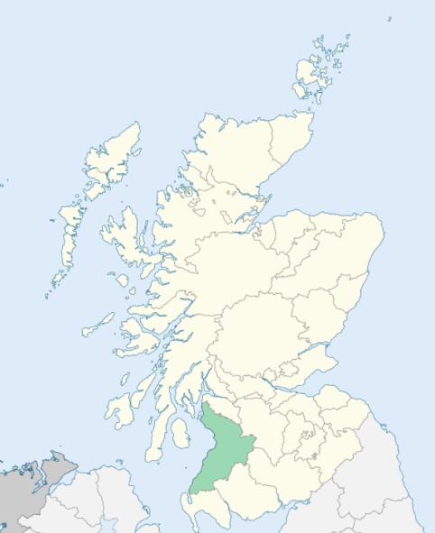
Dunlop is a parish partly in Renfrewshire, but chiefly in Ayrshire. It is bounded by the parishes of Neilston, Stewarton, and Beith. (1867: The Imperial Gazetteer of Scotland, by John Marius Wilson)
Dunlop
The parish of Dunlop was situated partly in the county of Ayr and partly in the county of Renfrew. The parish was placed wholly within the county of Ayr. See affected properties and landholders. (1892: Boundary of counties and parishes in Scotland as settled by the Boundary Commissioners under the Local Government Act, 1889, by Hay Shennan)
PRE-REFORMATION GOVERNANCE:
POST-REFORMATION GOVERNANCE:
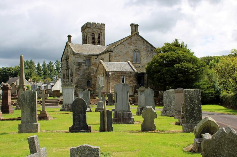
The vicarage of Dunlop belonged to the Abbey of Kilwinning. Near it there was a chapel of St Mary. The stepping-stone across the Water of Glasert leading to the village of Dunlop were called Our Lady's Steps. The Parish Church was rebuilt in 1835.
Includes ministers, licentiates, assistants, readers, and clerks.
(1928: Fasti Ecclesiæ Scoticanæ, by Hew Scott, D. D.)
Parish registers turned over to the Registrar-General, as a result of the Registration of Births, Deaths, and Marriages (Scotland) Act of 1854. The letters B. D. and M. indicate Births (or Baptisms), Deaths (or Burials), and Marriages (or Proclamations of Banns) respectively. Numbers indicate separate volumes or books. Note: These records are by no means complete or without damage; consult the Detailed List of the Old Parochial Registers of Scotland (1872) to learn more about the condition of the records.
| OPR and RD Numbers | |||
|---|---|---|---|
| Date Range | Name | Number | Type |
| 1700-1854 | Dunlop | 591 | OPR |
| 1855-1968 | Dunlop | 591 | RD |
| 2009 | East Ayrshire | 666 | RD |
| 2026 | East Ayrshire Council; Dunlop and Lugton Community Council | ||
(2009: Parishes and Registration Districts of Scotland - Old and New, National Records of Scotland)
Local community councils (2026) are provided as a potential source of additional information for settlements within the original boundaries of the parish. (Source)
Statistics from informal and official censuses
Anderson, Brown, Craig, Kerr, King, Muir, Robertson, Smith, Wilson, Young
Note: Names appearing in research materials, other than censuses. Simple names (First name, surname only) have been omitted unless they appear associated with large properties. All women's names, and men's names with occupations, military ranks, or peerage titles are included.
By the Reverend Mr Thomas Brisbane.
"At the conclusion of the year 1791, the population of this parish and the division of its inhabitants were 779 inhabitants, 112 in the village, 667 in the country. There were 389 males, 390 females, and 166 persons under 10 years of age. There were 41 residing proprietors, 63 tenants, 32 male servants, 61 female servants, 6 masons, 12 weavers, 6 carpenters or wrights, 3 smiths, 3 shoemakers, 4 tailors, 23 labourers, and 3 innkeepers.
With regard to the people in general, and those things which mark and distinguish them, it may be observed, that they retain nothing of the language which was originally spoken in the country, except the names of some places."
(This section contains excerpts, at times restructured or paraphrased, from an article appearing in Statistical Account of Scotland, Sir John Sinclair, 1791-1799)
Primary Sources:
Statistical Account of Scotland (1791-1799), Volume 9, p. 533
New Statistical Account of Scotland (1834-1845), Volume 5, Section I, p. 288
See Parish Page Sources for all source information and links.