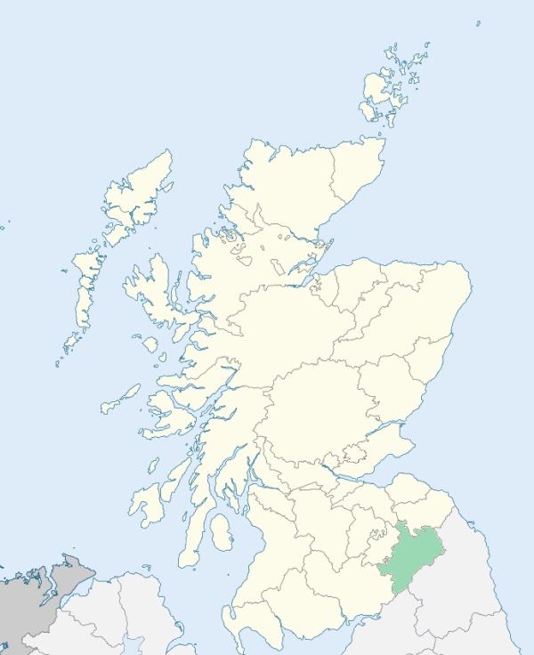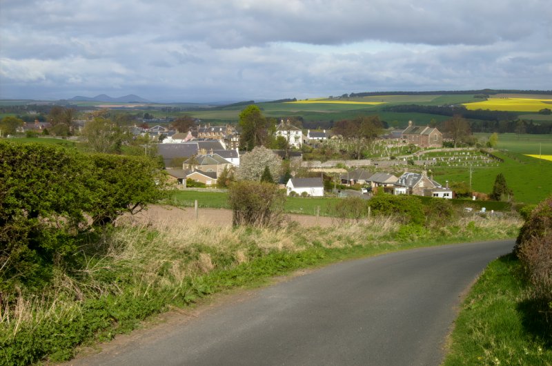
Morebattle is a parish in the extreme east of Roxburghshire. It is bounded by England, and by the parishes of Hownam, Eckford, Linton, and Yetholm. (1867: The Imperial Gazetteer of Scotland, by John Marius Wilson).
Clifton, Morebattle, Primside Mill
Clifton Park
PRE-REFORMATION GOVERNANCE:
POST-REFORMATION GOVERNANCE:
The parishes of Morebattle and Mow were united before 16 December 1635.
Morebattle. The church of Morebattle was dedicated to St Lawrence, whose holy well is close by. A new church was built in 1757; a chancel and vestry were added in 1899. In the seventh century a chapel at Clifton in this parish was given to St Cuthbert by King Oswy of Northumbria. There was another chapel at Whitton.
Mow, or Molle. As early as 1157 the church of Mow belonged to the Abbey of Kelso. It is said to have been dedicated to St Helen.
Includes ministers, licentiates, assistants, readers, and clerks.
Morebattle (QO)
Mow, or Molle (QO)
(1928: Fasti Ecclesiæ Scoticanæ, by Hew Scott, D. D.)
Parish registers turned over to the Registrar-General, as a result of the Registration of Births, Deaths, and Marriages (Scotland) Act of 1854. The letters B. D. and M. indicate Births (or Baptisms), Deaths (or Burials), and Marriages (or Proclamations of Banns) respectively. Numbers indicate separate volumes or books. Note: These records are by no means complete or without damage; consult the Detailed List of the Old Parochial Registers of Scotland (1872) to learn more about the condition of the records.
| OPR and RD Numbers | |||
|---|---|---|---|
| Date Range | Name | Number | Type |
| 1726-1854 | Morebattle | 801 | OPR |
| 1855-1947 | Morebattle | 801 | RD |
| 1948-1967 | Morebattle and Linton | 801 | RD |
| 2009 | Scottish Borders, Kelso | 821 | RD |
| 2026 | Scottish Borders Council; Kalewater Community Council | ||
(2009: Parishes and Registration Districts of Scotland - Old and New, National Records of Scotland)
Local community councils (2026) are provided as a potential source of additional information for settlements within the original boundaries of the parish. (Source)
Statistics from informal and official censuses
Craig, Elliot, Fox, Henderson, Johnston, Oliver, Riddell, Scott, Turnbull, Wood
Note: Names appearing in research materials, other than censuses. Simple names (First name, surname only) have been omitted unless they appear associated with large properties. All women's names, and men's names with occupations, military ranks, or peerage titles are included.
By a Lover of useful Enquiries.
"As the increase of the village is supposed to be equal to the depopulation of the country part of the parish, when small farms were annihilated, the present number of inhabitants is supposed to be nearly the same as in the return made to Dr Webster in 1755, which was then 789.
The only village in the parish is Morebattle. The inhabitants, who amount to about 200 souls, are active and industrious. Some of them find employment in working their horses and carts, in agricultural operations; frequently in carrying lime and coals to the farmers in the vicinity; and also in cultivating the small pieces of land they have in lease, without which they could not support their horses and cows. Some of the villagers are day-labourers, whilst others are occupied at their several trades and handicrafts, in the customary work of the country. The women are employed chiefly in spinning linen-yarn, and managing their small dairies, principally in making butter and cheese, some little of which is usually carried to market.
Artisans and tradesmen are far from being numerous in the parish, there being no more than are necessary to supply the inhabitants in customary work, in which are employed 4 weavers, 6 wrights and joiners, 2 smiths, 3 masons, 5 tailors, and 1 shoemaker."
(This section contains excerpts, at times restructured or paraphrased, from an article appearing in Statistical Account of Scotland, Sir John Sinclair, 1791-1799)
Primary Sources:
Statistical Account of Scotland (1791-1799), Volume 16, p. 504
New Statistical Account of Scotland (1834-1845), Volume 3, Section I, p. 447
See Parish Page Sources for all source information and links.