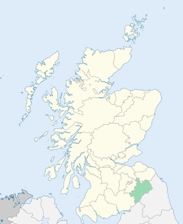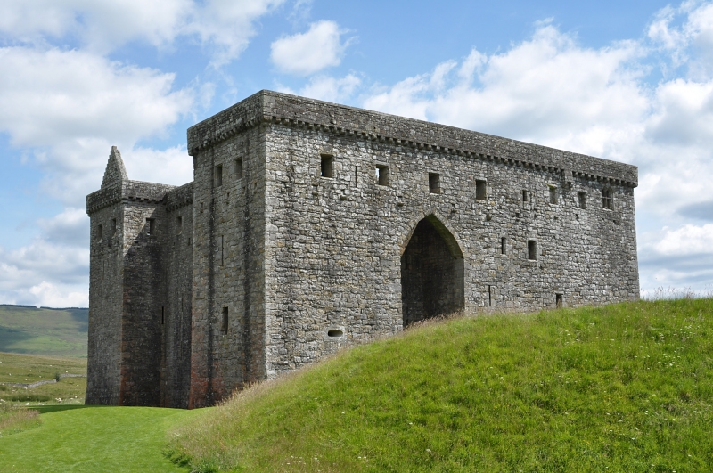
Castleton is a parish in the southern extremity of Roxburghshire. It is bounded on one side by England, on the west by Dumfriesshire, and on the north by the parishes of Teviothead, Hobkirk, and Southdean. In the old histories and geographical descriptions of Scotland, it is called the County of Liddesdale. (1867: The Imperial Gazetteer of Scotland, by John Marius Wilson).
Castleton, New Castleton or Newcastleton
Larriston
PRE-REFORMATION GOVERNANCE:
POST-REFORMATION GOVERNANCE:
Ettiltoun, Wheelkirk, and Belkirk were united to Castleton, 9 December 1604. Previous to the Reformation the church of Castleton belonged to the Priory of Canonbie. Wheelkirk was named from the site of its church, near the source of the Liddel, close to the ancient road called the Wheel Causey. There was a chapel at Dinlabyre. At New Castleton there is a chapel of St John.
Disjoined Quoad Sacra Parishes:
Saughtree. Begun as a Home Mission Station, 14 November 1865; disjoined from Castleton and erected into a parish quoad sacra by the Court of Teinds, 1 July 1910. A church, built by Walter Francis, Duke of Buccleuch, was opened in 1875.
Includes ministers, licentiates, assistants, readers, and clerks.
Castleton (QO)
Saughtree (QS)
(1928: Fasti Ecclesiæ Scoticanæ, by Hew Scott, D. D.)
Parish registers turned over to the Registrar-General, as a result of the Registration of Births, Deaths, and Marriages (Scotland) Act of 1854. The letters B. D. and M. indicate Births (or Baptisms), Deaths (or Burials), and Marriages (or Proclamations of Banns) respectively. Numbers indicate separate volumes or books. Note: These records are by no means complete or without damage; consult the Detailed List of the Old Parochial Registers of Scotland (1872) to learn more about the condition of the records.
| OPR and RD Numbers | |||
|---|---|---|---|
| Date Range | Name | Number | Type |
| 1749-1854 | Castleton | 784 | OPR |
| 1855-1971 | Castleton | 784 | RD |
| 1972-2006 | Castleton | 824 | RD |
| 2007-2009 | Scottish Borders, Castleton | 824 | RD |
| 2026 | Scottish Borders Council; Upper Liddesdale and Hermitage Community Council Newcastleton and District Community Council | ||
(2009: Parishes and Registration Districts of Scotland - Old and New, National Records of Scotland)
Local community councils (2026) are provided as a potential source of additional information for settlements within the original boundaries of the parish. (Source)
Statistics from informal and official censuses
Armstrong, Beattie, Crozier, Elliot, Johnstone, Little, Murray, Nichol, Scott, Turnbull
Note: Names appearing in research materials, other than censuses. Simple names (First name, surname only) have been omitted unless they appear associated with large properties. All women's names, and men's names with occupations, military ranks, or peerage titles are included.
By the Reverend Mr James Arkle, Minister.
"The number of souls in December 1793 was 1418, of whom 666 were males, and 752 were females; 342 were under 10 years of age. Number of inhabitants in the village, 70.
There were 46 farmers, 9 shopkeepers, 1 surgeon, 3 schoolmasters, 3 innkeepers, 5 smiths, 12 masons, 14 joiners, 16 weavers, 8 shoemakers, 3 cloggers, 13 tailors, 3 millers, and 4 bakers.
The people in general enjoy, in a reasonable degree, the comforts of society, and are contented with their situation. They are by no means fond of a military life. The majority are of the middle size, but many of them considerably above, and several under it. They are distinguished by their hospitality and humanity, ever willing to contribute to the relief of those in distress. Few lawsuits have occurred; no punishments have been inflicted; and few or no traces of the border or barbarous customs are now to be seen."
(This section contains excerpts, at times restructured or paraphrased, from an article appearing in Statistical Account of Scotland, Sir John Sinclair, 1791-1799)
Primary Sources:
Statistical Account of Scotland (1791-1799), Volume 16, p. 60
New Statistical Account of Scotland (1834-1845), Volume 3, Section I, p. 440
See Parish Page Sources for all source information and links.