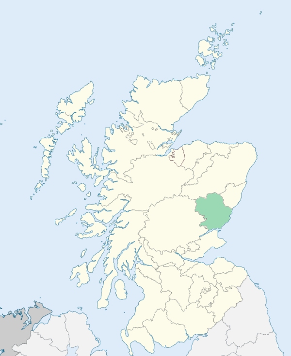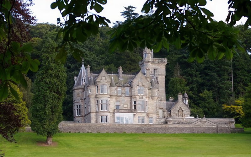
Kinnettles is a parish on the mutual border of the Sidlaw and Strathmore districts of Forfarshire. It is bounded by Glamis, Forfar, and Inverarity. (1867: The Imperial Gazetteer of Scotland, by John Marius Wilson).
Douglaston or Douglastown, Ingliston, Kinnettles
Iinvereighty
Whereas part of the parish of Caputh and of the county of Perth, containing 283 acres or thereby, situated at or near Foffarty and adjoining the parishes of Glamis, Inverarity, and Kinnettles, in the county of Forfar (being the part marked on the Ordnance Survey maps Caputh detached No. 5) is detached from the main portion of the parish of Caputh and of the county of Perth:
And whereas part of the parish of Caputh and of the county of Perth, containing half an acre or thereby, situated at Broughty Castle, and adjoining the parish of Monifieth in the county of Forfar, is detached from the main portion of the parish of Caputh and of the county of Perth:
I. The aforesaid detached part of the parish of Caputh and of the county of Perth, marked on the Ordnance Survey maps Caputh detached No. 5, shall cease to be part of the said parish and county, and shall form part of the parish of Kinnettles and of the county of Forfar.
II. The aforesaid detached part of the parish of Caputh and of the county of Perth, situated at or near Broughty Castle, shall cease to be part of the said parish and county, and shall form part of the parish of Monifieth and of the county of Forfar.
See affected properties and landholders. (1892: Boundary of counties and parishes in Scotland as settled by the Boundary Commissioners under the Local Government Act, 1889, by Hay Shennan)
PRE-REFORMATION GOVERNANCE:
POST-REFORMATION GOVERNANCE:
The church of Kinnettles belonged to the collegiate church of St Mary on the Kirk Heugh at St Andrews.
Includes ministers, licentiates, assistants, readers, and clerks.
Parish (QO)
(1928: Fasti Ecclesiæ Scoticanæ, by Hew Scott, D. D.)
Parish registers turned over to the Registrar-General, as a result of the Registration of Births, Deaths, and Marriages (Scotland) Act of 1854. The letters B. D. and M. indicate Births (or Baptisms), Deaths (or Burials), and Marriages (or Proclamations of Banns) respectively. Numbers indicate separate volumes or books. Note: These records are by no means complete or without damage; consult the Detailed List of the Old Parochial Registers of Scotland (1872) to learn more about the condition of the records.
| OPR and RD Numbers | |||
|---|---|---|---|
| Date Range | Name | Number | Type |
| 1657-1854 | Kinnettles | 297 | OPR |
| 1855-1968 | Kinnettles | 297 | RD |
| 2009 | Angus, Forfar | 364 | RD |
| 2026 | Angus Council, Glamis & Area Community Council | ||
(2009: Parishes and Registration Districts of Scotland - Old and New, National Records of Scotland)
Local community councils (2026) are provided as a potential source of additional information for settlements within the original boundaries of the parish. (Source)
Statistics from informal and official censuses
Anderson, Dorward, Fearn, Findlay, Martin, Michie, Nicoll, Pringle, Reich, Smith
Note: Names appearing in research materials, other than censuses. Simple names (First name, surname only) have been omitted unless they appear associated with large properties. All women's names, and men's names with occupations, military ranks, or peerage titles are included.
By the Reverend Mr David Ferney.
"The amount of the present population is 621, comprehending all ages; males 325, females 296. There are 26 Episcopalians, 5 Roman Catholics, 1 Seceder, 589 of the Established Church.
There is no town in the parish, only 1 village, containing 78. Exclusive of pendicle tacksmen, who depend not on farming alone for their subsistence, we have 16 farmers, besides 2 gentlemen who farm part of their own estates. Their families in all contain 167 persons. There are 3 farms, on which the possessors do not reside. The number of manufacturers is 58, of handicraftsmen, 20, apprentices 6. Household servants are 5 male, 16 female. There are 76 labouring servants, 51 male, 25 female; here I have marked only hired servants. With most of our farmers, the sons and daughters of the family supply, in a considerable degree the place of servants.
There is no account of any having died of want. No recollection of murders or suicides, except one suicide committed by a woman about 20 years since. Very few have emigrated. None have been banished, or obliged to leave the parish for want of employment. No uninhabited houses; the number of the inhabited is 126."
(This section contains excerpts, at times restructured or paraphrased, from an article appearing in Statistical Account of Scotland, Sir John Sinclair, 1791-1799)
Primary Sources:
Statistical Account of Scotland (1791-1799), Volume 9, p. 197
New Statistical Account of Scotland (1834-1845), Volume 11, Section I, p. 206
See Parish Page Sources for all source information and links.