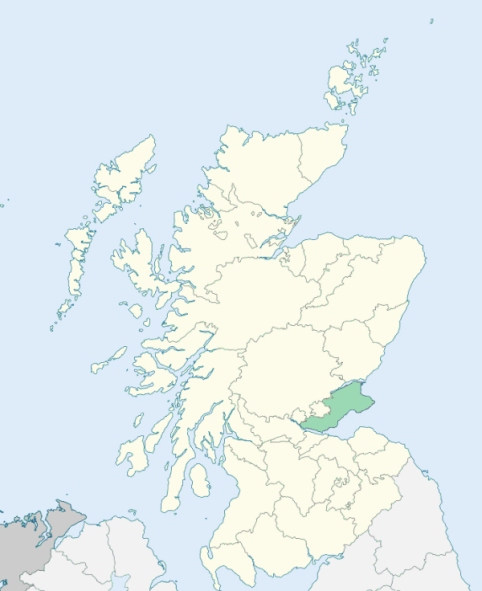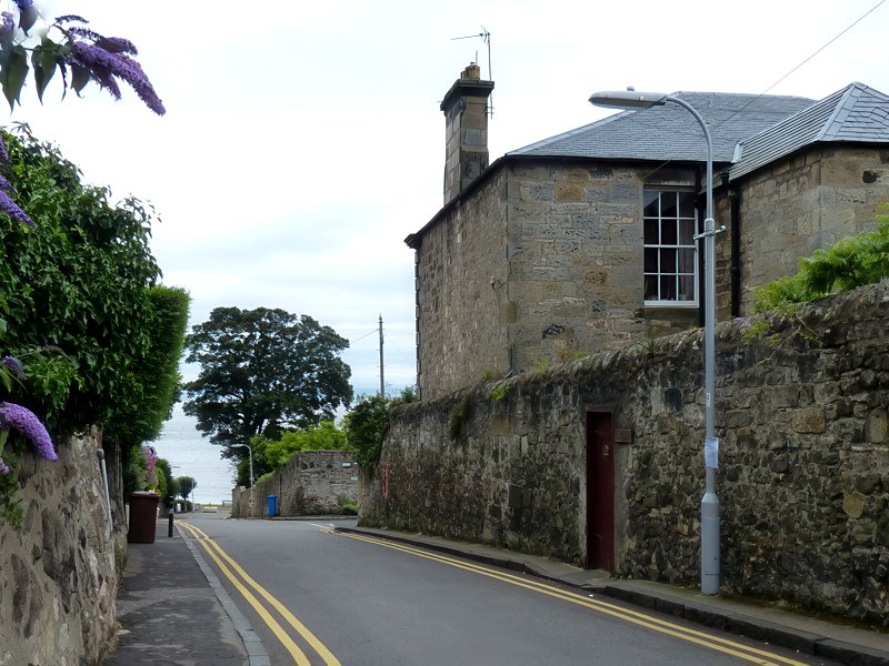
Aberdour is a parish on the south coast of Fife. It is bounded by the Firth of Forth, and by the parishes of Dalgety, Auchtertool, Kinghorn, and Burntisland. (1867: The Imperial Gazetteer of Scotland, by John Marius Wilson).
Aberdour, Donibristle, Easter Aberdour, Wester Aberdour, Newtown of Aberdour
Hillside
The parish of Aberdour had one detached part adjoining the north-east corner of the parish of Burntisland, and almost entirely surrounded by the parish of Kinghorn. This detached part was annexed to Kinghorn parish. See affected properties and landholders. (1892: Boundary of counties and parishes in Scotland as settled by the Boundary Commissioners under the Local Government Act, 1889, by Hay Shennan)
PRE-REFORMATION GOVERNANCE:
POST-REFORMATION GOVERNANCE:
The church of Aberdour was dedicated to St Fillan. It belonged to the Abbey of Inchcolm. In the town was a hospital of St Martha, founded 22 July 1474 by James, Earl of Morton, which was afterwards a convent of the Sisters of the Third Order of St Francis. Beside it was St Martha's Well. A fair of St Columba was held at Aberdour. The Augustinian Abbey of St Columba at Inchcolm was founded by King Alexander I in 1123.
Disjoined Quoad Sacra Parishes:
Mossgreen. A church was built in 1852 and enlarged in 1877. Mossgreen became a chapel-of-ease in 1860. The parish was disjoined from Aberdour, Dalgety, Inverkeithing, and Dunfermline, 13 January 1879.
(1928: Fasti Ecclesiæ Scoticanæ, by Hew Scott, D. D.)
Includes ministers, licentiates, assistants, readers, and clerks.
Aberdour (QO)
Mossgreen (QS)
(1928: Fasti Ecclesiæ Scoticanæ, by Hew Scott, D. D.)
Parish registers turned over to the Registrar-General, as a result of the Registration of Births, Deaths, and Marriages (Scotland) Act of 1854. The letters B. D. and M. indicate Births (or Baptisms), Deaths (or Burials), and Marriages (or Proclamations of Banns) respectively. Numbers indicate separate volumes or books. Note: These records are by no means complete or without damage; consult the Detailed List of the Old Parochial Registers of Scotland (1872) to learn more about the condition of the records.
| OPR and RD Numbers | |||
|---|---|---|---|
| Date Range | Name | Number | Type |
| 1650-1854 | Aberdour | 401 | OPR |
| 1855-1971 | Aberdour | 401 | RD |
| 1972-1993 | Aberdour | 434 | RD |
| 2009 | Fife, Inverkeithing | 436 | RD |
| 2026 | Fife Council; Aberdour Community Council | ||
(2009: Parishes and Registration Districts of Scotland - Old and New, National Records of Scotland)
Local community councils (2026) are provided as a potential source of additional information for settlements within the original boundaries of the parish. (Source)
Statistics from informal and official censuses
Baxter, Beveridge, Brown, Cook, Drysdale, Innes, Lyon, Mitchell, Robertson, Watson
Note: Names appearing in research materials, other than censuses. Simple names (First name, surname only) have been omitted unless they appear associated with large properties. All women's names, and men's names with occupations, military ranks, or peerage titles are included.
By the Reverend Mr Robert Liston.
"In the end of the year 1790, the population was 1280, of whom 368 were males in the village, 221 males in the country part; 472 females in the village, 219 females in the country part; 589 total males, 691 total females. There were 320 inhabitants under age 10. They are all of the Established Church, except 263 Seceders.
The people of Aberdour are sober and industrious, are contented with their situation, enjoy in a considerable degree the advantages of society, and while in health, they are able to maintain their families. The people are fond of a seafaring life, and enter willingly into the navy. There are about 60 sailors in the village. The common people here, and generally through Fife, are not fond of the army."
(This section contains excerpts, at times restructured or paraphrased, from an article appearing in Statistical Account of Scotland, Sir John Sinclair, 1791-1799)
Primary Sources:
Statistical Account of Scotland (1791-1799), Volume 4, p. 327
New Statistical Account of Scotland (1834-1845), Volume 9, Section I, p. 716
See Parish Page Sources for all source information and links.