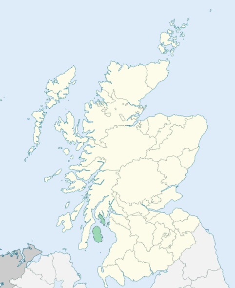
North Bute is a recently constituted parish in the island of Bute. It comprises the northern part of the island, and was disjoined wholly from the parish of Rothesay. (1867: The Imperial Gazetteer of Scotland, by John Marius Wilson).
Kamesburgh or Port Bannatyne
PRE-REFORMATION GOVERNANCE:
POST-REFORMATION GOVERNANCE:
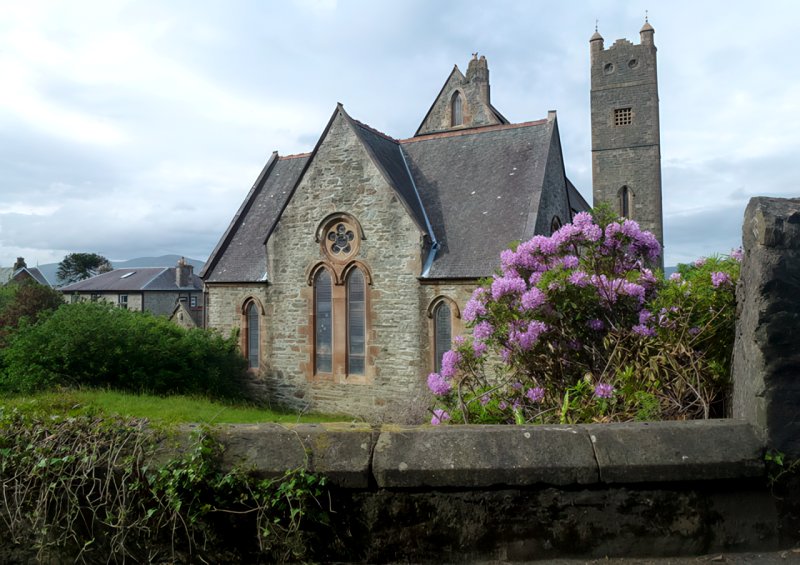
In 1836 John, second Marquess of Bute, built and endowed a church for the northern part of Bute. On 26 June 1844 the parish of North Bute was disjoined from Rothesay quoad omnia. At Kilmichael in North Bute there is a ruined chapel of St Michael. At Kilmorie are the ruins of St Mary's Chapel. At St Ninian's Point are the foundations of the small chapel of St Ninian with St Ninian's Well near it. At Kildavannan on the hill of Cnocdavannan stood the remains of St Adamnan's Chapel. At Cruisklan there are the foundations of a chapel. On the island of Inchmarnoch there was a chapel of St Marnoch, which belonged to the priory of Saddell. At Kilbride in Glenmòr there stood a chapel of St Bride, and at Kilchiarain was one dedicated to St Kiaran. A church dedicated to St Ninian was built at Port Bannatyne in 1886.
Includes ministers, licentiates, assistants, readers, and clerks.
(1928: Fasti Ecclesiæ Scoticanæ, by Hew Scott, D. D.)
Parish registers turned over to the Registrar-General, as a result of the Registration of Births, Deaths, and Marriages (Scotland) Act of 1854. The letters B. D. and M. indicate Births (or Baptisms), Deaths (or Burials), and Marriages (or Proclamations of Banns) respectively. Numbers indicate separate volumes or books. Note: These records are by no means complete or without damage; consult the Detailed List of the Old Parochial Registers of Scotland (1872) to learn more about the condition of the records.
| OPR and RD Numbers | |||
|---|---|---|---|
| Date Range | Name | Number | Type |
| 1844-1854 | North Bute | 557 | OPR |
| 1855-1966 | North Bute | 557 | RD |
| 1867-1971 | North Bute, Isle of Bute | 558 | RD |
| 1972-2006 | Isle of Bute | 550 | RD |
| 2007 | Isle of Bute, Argyll and Bute | 550 | RD |
| 2009 | Argyll and Bute, Isle of Bute | 550 | RD |
| 2026 | Argyll and Bute Council; Bute Community Council | ||
(2009: Parishes and Registration Districts of Scotland - Old and New, National Records of Scotland)
Local community councils (2026) are provided as a potential source of additional information for settlements within the original boundaries of the parish. (Source)
Statistics from informal and official censuses
Brown, Crawford, Currie, Hyndman, Lamont, Lyon, Murray, Smith, Stewart, Weir
See Parish Page Sources for all source information and links.