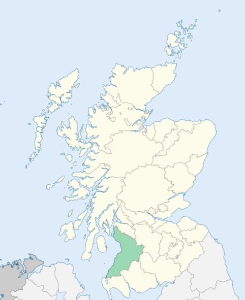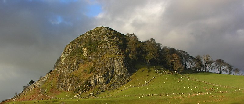
Loudoun is a parish in the south-east corner of Cunningham, Ayrshire. It is bounded by the counties of Renfrew and Lanark, and by the parishes of Galston, Kilmarnock, and Fenwick. (1867: The Imperial Gazetteer of Scotland, by John Marius Wilson).
Alton, Darvel, Newmilns
PRE-REFORMATION GOVERNANCE:
POST-REFORMATION GOVERNANCE:
The church of Loudoun belonged to the Abbey of Kilwinning. In 1738 the parish church was transferred to a site at Newmilns. A spring at Loudoun was long held in honour as Our Lady's Well. At Newmilns a fair was held on St Denys' Day, 9th October.
Disjoined Quoad Sacra Parishes:
Darvel. The parish was disjoined from the parishes of Loudoun and Galston on 7 March 1892.
Includes ministers, licentiates, assistants, readers, and clerks.
Loudoun (QO)
Darvel (QS)
(1928: Fasti Ecclesiæ Scoticanæ, by Hew Scott, D. D.)
Parish registers turned over to the Registrar-General, as a result of the Registration of Births, Deaths, and Marriages (Scotland) Act of 1854. The letters B. D. and M. indicate Births (or Baptisms), Deaths (or Burials), and Marriages (or Proclamations of Banns) respectively. Numbers indicate separate volumes or books. Note: These records are by no means complete or without damage; consult the Detailed List of the Old Parochial Registers of Scotland (1872) to learn more about the condition of the records.
| OPR and RD Numbers | |||
|---|---|---|---|
| Date Range | Name | Number | Type |
| 1673-1854 | Loudoun | 603 | OPR |
| 1855-1905 | Loudoun | 603 | RD |
| 1906-1969 | Newmilns | 603-1 | RD |
| 1906-1969 | Darvel | 603-2 | RD |
| 1970-1971 | Darvel | 603 | RD |
| 1970-1971 | Newmilns | 609 | RD |
| 1972-2000 | Newmilns | 668 | RD |
| 1972-2000 | Darvel | 669 | RD |
| 2001-2006 | Darvel, Galston, and Newmilns | 670 | RD |
| 2007 | Galston, Darvel and Newmilns | 670 | RD |
| 2009 | East Ayrshire, Galston, Darvel and Newmilns | 670 | RD |
| 2026 | (Loudoun) East Ayrshire Council; Newmilns and Greenholm Community Council | ||
| 2026 | (Galston) East Ayrshire Council; Galston Community Council | ||
| 2026 | (Darvel) East Ayrshire Council; Darvel and District Community Council | ||
| 2026 | (Newmilns) East Ayrshire Council; Newmilns and Greenholm Community Council | ||
(2009: Parishes and Registration Districts of Scotland - Old and New, National Records of Scotland)
Local community councils (2026) are provided as a potential source of additional information for settlements within the original boundaries of the parish. (Source)
Statistics from informal and official censuses
Brown, Findlay, Mair, Mitchell, Morton, Pollock, Richmond, Smith, Wilson, Young
Note: Names appearing in research materials, other than censuses. Simple names (First name, surname only) have been omitted unless they appear associated with large properties. All women's names, and men's names with occupations, military ranks, or peerage titles are included.
By the Reverend Dr George Lawrie.
"The number of souls in the spring 1791 was 2308. The proportion, at present, of males to females, is nearly equal, owing to the emigration of young weavers to Glasgow and Paisley, and farmers widows resorting to the villages with their daughters, where they are employed in assisting the weavers in winding yarn, clipping, &c. In Newmilns, there are 241 male weavers, 25 female weavers. In Derval there are 58 male weavers, and in other parts of the parish 20. There are 344 weavers in the whole parish. Some girls begin to weave so early as the age of twelve, and some females have taught their husbands after marriage.
The parish produces more provision than serve the inhabitants. The tenants transport meal, butter, cheese, and veal to Edinburgh, Glasgow, and Paisley, &c."
(This section contains excerpts, at times restructured or paraphrased, from an article appearing in Statistical Account of Scotland, Sir John Sinclair, 1791-1799)
Primary Sources:
Statistical Account of Scotland (1791-1799), Volume 3, p. 103
New Statistical Account of Scotland (1834-1845), Volume 5, Section I, p. 834
See Parish Page Sources for all source information and links.