Sprouston and Lempitlaw
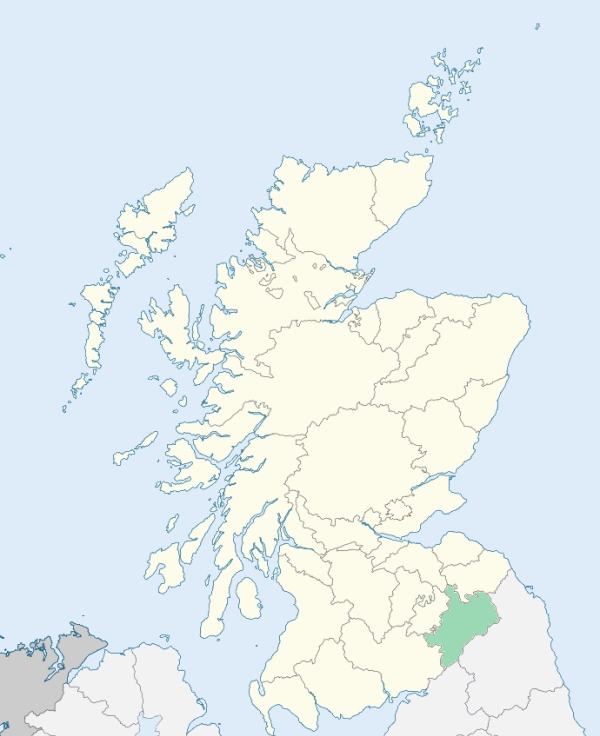
Sprouston is a parish in the extreme north-east of Roxburghshire. It is bounded by Berwickshire, by England, and by the parishes of Linton, Eckford, Kelso, and Ednam. The present parish of Sprouston comprehends the ancient parishes of Sprouston on the north-west, and Lempitlaw on the south-east. (1867: The Imperial Gazetteer of Scotland, by John Marius Wilson).
Hadden, Lempitlaw, Redden, Sprouston
PRE-REFORMATION GOVERNANCE:
POST-REFORMATION GOVERNANCE:
The date that Sprouston and Lempitlaw were united is unknown.
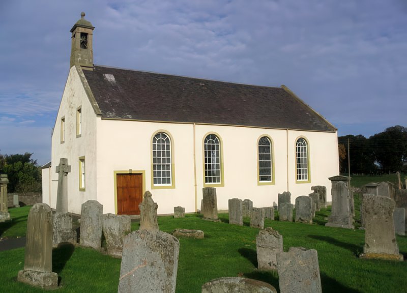
Sprouston. The church of Sprouston, dedicated to St Michael, was given by King David I to the monks of Kelso early in the twelfth century. In 1781 the church was rebuilt on the old site.
Lempitlaw. Lempitlaw was granted in 1122, with all its lands and pertinents, to the House of the Holy Trinity at Soutra. No trace now remains of a chapel which once existed at Hadden.
Includes ministers, licentiates, assistants, readers, and clerks.
(1928: Fasti Ecclesiæ Scoticanæ, by Hew Scott, D. D.)
Parish registers turned over to the Registrar-General, as a result of the Registration of Births, Deaths, and Marriages (Scotland) Act of 1854. The letters B. D. and M. indicate Births (or Baptisms), Deaths (or Burials), and Marriages (or Proclamations of Banns) respectively. Numbers indicate separate volumes or books. Note: These records are by no means complete or without damage; consult the Detailed List of the Old Parochial Registers of Scotland (1872) to learn more about the condition of the records.
| OPR and RD Numbers | |||
|---|---|---|---|
| Date Range | Name | Number | Type |
| 1633-1854 | Sprouston | 807 | OPR |
| 1855-1967 | Sprouston | 807 | RD |
| 2009 | Scottish Borders, Kelso | 821 | RD |
| 2026 | Scottish Borders Council; Sprouston Community Council | ||
(2009: Parishes and Registration Districts of Scotland - Old and New, National Records of Scotland)
Local community councils (2026) are provided as a potential source of additional information for settlements within the original boundaries of the parish. (Source)
Statistics from informal and official censuses
Brown, Cairns, Fairbairn, Muir, Paterson, Robson, Turnbull, Walker, Wilson, Wood
Note: Names appearing in research materials, other than censuses. Simple names (First name, surname only) have been omitted unless they appear associated with large properties. All women's names, and men's names with occupations, military ranks, or peerage titles are included.
By the Reverend Mr Robert Turnbull.
"The population, as is thought, has not varied for these forty years past. The number of souls in the parish is supposed to be about 1000. The most numerous class of artificers are weavers; there are 30 in the village of Sprouston; 8 masons, and 4 carpenters. There are about 60 Seceders in the parish. There are many persons between 70 and 100 years of age.
Only one suicide has been committed in the course of more than forty years. The people, in general, are contented and industrious; their condition, however, would be meliorated, if they had better houses: Their manners and customs remain the same as formerly; but dress, and the mode of living, are much improved."
(This section contains excerpts, at times restructured or paraphrased, from an article appearing in Statistical Account of Scotland, Sir John Sinclair, 1791-1799)
Primary Sources:
Statistical Account of Scotland (1791-1799), Volume 1, p. 65
New Statistical Account of Scotland (1834-1845), Volume 3, Section I, p. 235
See Parish Page Sources for all source information and links.