Ecclescraig, Ecclesgreig, Ecclescyrig
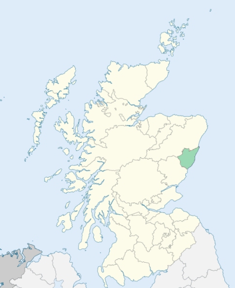
St Cyrus is a parish in the southern extremity of Kincardineshire. It is bounded on the east by the German Ocean (North Sea), on the south by Forfarshire, and on other sides by the parishes of Marykirk, Garvock, and Benholm. (1867: The Imperial Gazetteer of Scotland, by John Marius Wilson).
Burnside, Bush, Kirkton, Lochside, Mathers, Milton, Roadside, St Cyrus or Ecclesgreig, Whitehill
Blackhall, Bridgeton, Kirkside, Morphie
PRE-REFORMATION GOVERNANCE:
POST-REFORMATION GOVERNANCE:
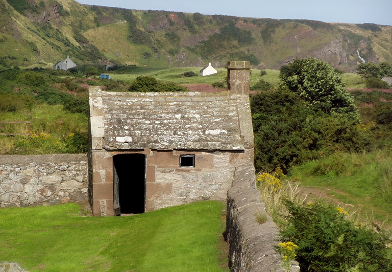
The church of Ecclesgreig was dedicated to St Curig of Llanbadarn. It belonged to the Priory of St Andrews. There was near the church a Well of St Curig. There was also, at Chapelfield near Lauriston, a chapel of St Laurence.
Includes ministers, licentiates, assistants, readers, and clerks.
(1928: Fasti Ecclesiæ Scoticanæ, by Hew Scott, D. D.)
Parish registers turned over to the Registrar-General, as a result of the Registration of Births, Deaths, and Marriages (Scotland) Act of 1854. The letters B. D. and M. indicate Births (or Baptisms), Deaths (or Burials), and Marriages (or Proclamations of Banns) respectively. Numbers indicate separate volumes or books. Note: These records are by no means complete or without damage; consult the Detailed List of the Old Parochial Registers of Scotland (1872) to learn more about the condition of the records.
| OPR and RD Numbers | |||
|---|---|---|---|
| Date Range | Name | Number | Type |
| 1696-1854 | St Cyrus | 267 | OPR |
| 1855-1967 | St Cyrus | 267 | RD |
| 1972-2000 | St Cyrus | 343 | RD |
| 2009 | Aberdeenshire, Stonehaven and East Kincardine | 342 | RD |
| 2026 | Aberdeenshire Council; St Cyrus Community Council | ||
(2009: Parishes and Registration Districts of Scotland - Old and New, National Records of Scotland)
Local community councils (2026) are provided as a potential source of additional information for settlements within the original boundaries of the parish. (Source)
Statistics from informal and official censuses
Allison, Anderson, Duncan, Milne, Mitchell, Smith, Stephen, Stewart, Thomson, Walker
Note: Names appearing in research materials, other than censuses. Simple names (First name, surname only) have been omitted unless they appear associated with large properties. All women's names, and men's names with occupations, military ranks, or peerage titles are included.
By the Reverend Mr William Walker.
"The population in 1792 was 1763. The principal village in the parish is Milton, which stands on the sea coast. In the year 1781, there were 46 families, containing 170 persons, in this village. Their number is at present on the increase. The village of St Cyrus stands beside the church, nigh the centre of the parish. It contains 144 inhabitants, who are mostly mechanics, salmon fishers, or day labourers.
The people of this parish are, in general, active and industrious: Those employed at the lime quarries, and the salmon fisheries, particularly deserve this character. The female part of the parish is not behind the men in point of industry. They are excellent spinsters, and perform the operation with both hands, spinning two threads at once with the greatest facility. The religious character of the inhabitants of this parish is moderate. They neither run into the extreme of superstition, on the one hand, nor of fanaticism on the other."
(This section contains excerpts, at times restructured or paraphrased, from an article appearing in Statistical Account of Scotland, Sir John Sinclair, 1791-1799)
Primary Sources:
Statistical Account of Scotland (1791-1799), Volume 11, p. 89
New Statistical Account of Scotland (1834-1845), Volume 11, Section II, p. 269
See Parish Page Sources for all source information and links.