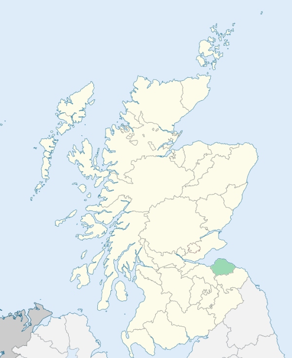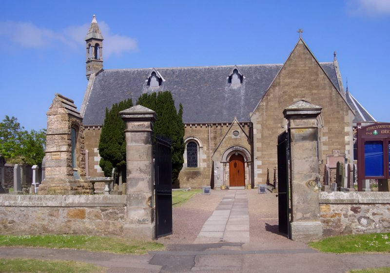
Athelstaneford is a parish in the north part of Haddingtonshire. The parish of Athelstaneford is divided from that of Haddington on the south and south-west by the Lug Down Burn. On the north this parish is separated from that of Dirleton by another small rivulet called the Peffer. (1867: The Imperial Gazetteer of Scotland, by John Marius Wilson).
Athelstaneford, Drem
The parish of Athelstaneford had one detached part, which has been transferred to the parish of Prestonkirk. See affected properties and landholders. (1892: Boundary of counties and parishes in Scotland as settled by the Boundary Commissioners under the Local Government Act, 1889, by Hay Shennan)
PRE-REFORMATION GOVERNANCE:
POST-REFORMATION GOVERNANCE:
Previous to the Reformation the church belonged to the Cistercian nunnery at Haddington.
Includes ministers, licentiates, assistants, readers, and clerks.
(1928: Fasti Ecclesiæ Scoticanæ, by Hew Scott, D. D.)
Parish registers turned over to the Registrar-General, as a result of the Registration of Births, Deaths, and Marriages (Scotland) Act of 1854. The letters B. D. and M. indicate Births (or Baptisms), Deaths (or Burials), and Marriages (or Proclamations of Banns) respectively. Numbers indicate separate volumes or books. Note: These records are by no means complete or without damage; consult the Detailed List of the Old Parochial Registers of Scotland (1872) to learn more about the condition of the records.
| OPR and RD Numbers | |||
|---|---|---|---|
| Date Range | Name | Number | Type |
| 1664-1854 | Athelstaneford | 703 | OPR |
| 1855-1967 | Athelstaneford | 703 | RD |
| 2009 | East Lothian, Haddington | 722 | RD |
| 2026 | East Lothian Council; Haddington and Lammermuir Community Council | ||
(2009: Parishes and Registration Districts of Scotland - Old and New, National Records of Scotland)
Local community councils (2026) are provided as a potential source of additional information for settlements within the original boundaries of the parish. (Source)
Statistics from informal and official censuses
Allan, Black, Brown, Clark, Dickson, Gibson, Grierson, Reid, Watt, Wilson
Note: Names appearing in research materials, other than censuses. Simple names (First name, surname only) have been omitted unless they appear associated with large properties. All women's names, and men's names with occupations, military ranks, or peerage titles are included.
By the Reverend Mr George Goldie.
"The number of souls in the parish in 1792 was 927, of whom 424 were males, 503 were females, and 199 were under the age of 10. There were 223 inhabited houses. There were 19 Burgher Seceders, and 49 Antiburgher Seceders. While the number of souls in the parish, in general, has diminished, the population of the village of Athelstaneford has increased very much. In 1778, the number of inhabited houses was 71, containing 295 inhabitants. In 1792, the number of inhabited houses is 92, containing 387 inhabitants.
There are 16 farms in the parish; one of about 500 acres, another of 350, and a third of about 300; the rest are from 160 to 200 acres each, with the exception of one that is only about 50. One of the best butcher markets in Scotland is established here. A woollen manufacture of striped variegated cloth has been carried on in the village for some years past, on a small scale. There are three smiths in the parish, and tradesmen of every kind connected with the improvements in husbandry; there are two corn-mills. Besides people in the other lines of life that are settled in the village, there is a baker and a brewer.
Upon the whole, there are few parishes in Scotland that enjoy greater advantages than the parish of Athelstaneford, and none in which the people, in general, are more comfortable, contented, and happy."
(This section contains excerpts, at times restructured or paraphrased, from an article appearing in Statistical Account of Scotland, Sir John Sinclair, 1791-1799)
Primary Sources:
Statistical Account of Scotland (1791-1799), Volume 10, p. 161
New Statistical Account of Scotland (1834-1845), Volume 2, Section II, p. 41
See Parish Page Sources for all source information and links.